Kyathanpally
Kyathanpally is a census town and a municipality in Mancherial district of the Indian state of Telangana.[1][2]
Kyathanpally | |
|---|---|
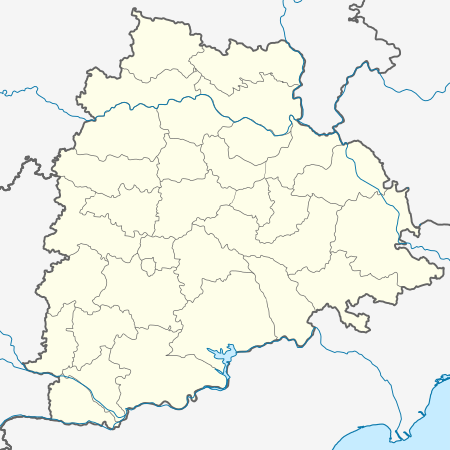 Kyathanpally Location in Telangana, India  Kyathanpally Kyathanpally (India) | |
| Coordinates: 18.92337°N 79.458705°E | |
| Country | India |
| State | Telangana |
| District | Mancherial |
| Government | |
| • Type | Municipality |
| • Body | Kyathanpally Municipality |
| Area | |
| • Total | 6.50 km2 (2.51 sq mi) |
| Population (2011)[1] | |
| • Total | 32,275 |
| • Density | 5,000/km2 (13,000/sq mi) |
| Languages | |
| • Official | Telugu |
| Time zone | UTC+5:30 (IST) |
| PIN | 504301 |
| Vehicle registration | TS |
| Website | kyathanpallymunicipality |
Demographics
As of 2001 India census,[3] Kyathanpally had a population of 42,275. Males constitute 51% of the population and females 49%. Kyathanpally has an average literacy rate of 59%, lower than the national average of 59.5%: male literacy is 67%, and female literacy is 51%. In Kyathampalle, 11% of the population is under 6 years of age.
gollark: Meat grinder deployment is not permitted by the potatOS privacy policy.
gollark: I mean, TV licensing is terrible.
gollark: The BBC is fine.
gollark: vengeance.
gollark: I really need to fix PotatOS Hypercycle.
References
- "District Census Handbook – mancherial" (PDF). Census of India. pp. 13, 30. Retrieved 10 June 2016.
- "Kyathanpalty Municipatity, Mancheriat District GO" (PDF). CDMA Telangana. Retrieved 3 July 2020.
- "Census of India 2001: Data from the 2001 Census, including cities, villages and towns (Provisional)". Census Commission of India. Archived from the original on 16 June 2004. Retrieved 1 November 2008.
This article is issued from Wikipedia. The text is licensed under Creative Commons - Attribution - Sharealike. Additional terms may apply for the media files.