Kwaebibirem District
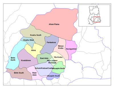
The Kwaebibirem District is one of the twenty-one (21) districts of the Eastern Region of south Ghana. The capital is Kade, and the principal town is Akwatia on the Birim River.[1]
Kwaebibirem District | |
|---|---|
District | |
Seal | |
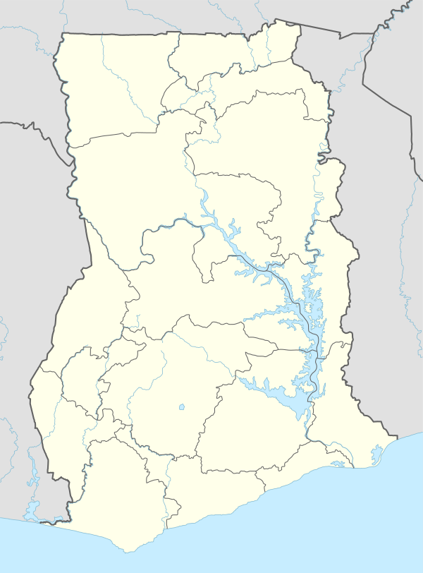
 Eastern Region districts | |
 Kwaebibirem District Location of Kwaebibirem district in Eastern Region | |
| Coordinates: 6°13′N 0°54′W | |
| Region | Eastern Region |
| Capital | Kade |
| Government | |
| • Type | District Assembly |
| • District Executive | Yaw Yiadom Boakye |
| Area | |
| • Total | 1,147 km2 (443 sq mi) |
| Time zone | UTC+0 (Greenwich Mean Time) |
| • Summer (DST) | GMT |
List of settlements
| Settlements of Kwaebibirem District | |||
| No. | Settlement | Population | Population year |
|---|---|---|---|
| 1 | Akim-Wenchi | ||
| 2 | Apinamang | ||
| 3 | Anweaso | ||
| 4 | Asempanaye | ||
| 5 | Afreseni – Camp | ||
| 6 | Afreseni | ||
| 7 | Aworokrom | ||
| 8 | Asibey-Nkwanta | ||
| 9 | Akwatia | 23,766 | 2013 |
| 10 | Asibeykrom | ||
| 11 | Amakom | ||
| 12 | Asuokor | ||
| 13 | Attakrom | ||
| 14 | Aponaponso | ||
| 15 | Adugyama | ||
| 16 | Kade | 16,542 | 2013 |
| 17 | Kumawu | ||
| 18 | Bonkrom | ||
| 19 | Nyehwee | ||
| 20 | Kunsu | ||
gollark: Orbital bee strike inbound.
gollark: Fiiiiiine, general then.
gollark: Also, it's at least... not impossible... that quantum stuff runs on some smaller-scale deterministic processes, though I think it *has* been proven that said processes would need to synchronize data faster than light speed.
gollark: You know there's an intermediate scale between "poke around individual quarks" and "kill the entire human or whatever", right?
gollark: The first bit.
References
- Kwaebibirem district Archived 2013-10-29 at the Wayback Machine
Sources
External links
- "Kwaebibirem district". Statoids.
| Municipal |
| .svg.png) |
|---|---|---|
| District |
| |
This article is issued from Wikipedia. The text is licensed under Creative Commons - Attribution - Sharealike. Additional terms may apply for the media files.