Klaffer am Hochficht
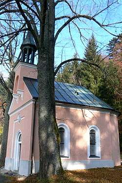
Klaffer am Hochficht is a municipality in the district of Rohrbach in the Austrian state of Upper Austria.
Klaffer am Hochficht | |
|---|---|
 | |
 Coat of arms | |
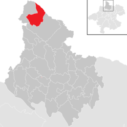 Location in the district | |
 Klaffer am Hochficht Location within Austria | |
| Coordinates: 48°41′40″N 13°53′10″E | |
| Country | Austria |
| State | Upper Austria |
| District | Rohrbach |
| Government | |
| • Mayor | Franz Wagner (ÖVP) |
| Area | |
| • Total | 28.02 km2 (10.82 sq mi) |
| Elevation | 638 m (2,093 ft) |
| Population (2018-01-01)[2] | |
| • Total | 1,311 |
| • Density | 47/km2 (120/sq mi) |
| Time zone | UTC+1 (CET) |
| • Summer (DST) | UTC+2 (CEST) |
| Postal code | 4163 |
| Area code | 07288 |
| Vehicle registration | RO |
| Website | www.klaffer.ooe.gv.at |
Geography
Klaffer lies in the Mühlviertel. About 60 percent of the municipality is forest, and 38 percent is farmland.
gollark: Why should I have to CONSUME FOOD to CONTINUE EXISTING?
gollark: CONSTANTLY!
gollark: Why should I be FORCED to experience 9.81N/kg of downward force?!
gollark: Really, we're enslaved by reality and its ridiculous constraints.
gollark: Okay, that's possibly justifiable.
References
- "Dauersiedlungsraum der Gemeinden Politischen Bezirke und Bundesländer - Gebietsstand 1.1.2018". Statistics Austria. Retrieved 10 March 2019.
- "Einwohnerzahl 1.1.2018 nach Gemeinden mit Status, Gebietsstand 1.1.2018". Statistics Austria. Retrieved 9 March 2019.
| Wikimedia Commons has media related to Klaffer am Hochficht. |
This article is issued from Wikipedia. The text is licensed under Creative Commons - Attribution - Sharealike. Additional terms may apply for the media files.