Kings River (Ireland)
The Kings River (Irish: Abhainn Rí) is a river in Ireland, flowing through County Tipperary and County Kilkenny.[1] It is a tributary of the River Nore, and its catchment a part of the Nore catchment area.[2][3]
| Kings River | |
|---|---|
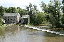 Kings River at Kells | |
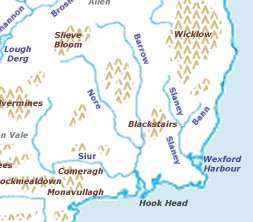 Map showing the location of the Three Sisters rivers. | |
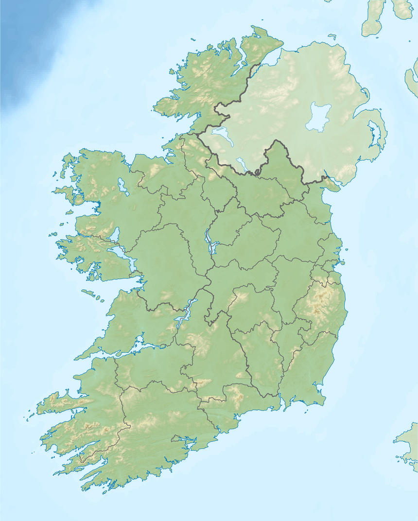 Location of the mouth in Ireland. | |
| Native name | Abhainn Rí (Irish) |
| Location | |
| County | Ireland |
| Counties | Tipperary/Kilkenny |
| Physical characteristics | |
| Source | |
| • location | Slieveardagh Hills |
| • coordinates | 52.5894521°N 7.5587721°W |
| Mouth | River Nore |
• location | Celtic Sea, as the River Nore |
• coordinates | 52.5624522°N 7.192368°W |
• elevation | 0 m (0 ft) |
| Length | 46.27 kilometres (28.75 mi) |
| Basin features | |
| Progression | River Nore—Celtic Sea |
| River system | River Nore/ Three Sisters |
Course
Overview
From the townland of Graigaman, in the Civil Parish of Buolick in the barony of Slievardagh, the Kings River drains the southern side of the Slieveardagh Hills, and, flowing southeast, crosses into County Kilkenny, is joined by the Munster River before passing through the town of Callan, continuing eastwards, passing Kells, and joining the River Nore west of Thomastown.
Detail and tributaries
The Kings River begins[4] with the Coalbrook[5] and Garranacoll[6] streams. It carries on for over 70 kilometres (43 mi) where it is joined[7] by the River Modeshil[8] and River Munster[9] over the next 60 kilometres (37 mi).[10] The River Kilbride also joins after Callan. The next 40 kilometres (25 mi) sees the tributories of Caherlesk[11] and Desart streams,[12][13] as well as the River Glory[14] and the Stonyford stream.[15] The Kings River is then joined by the Ennisnag stream[16] before flowing into the Nore.[17][18]
Additional tributaries include one that starts as a spring in the townland of Ballyphilip, Balingarry Civil Parish, joining the river above Wilford, one above Enterprise Centre, near Ballingarry, and one at Rivergrove, Kilkenny.
Governance
The responsible local authorities are Tipperary County Council and Kilkenny County Council.[19]
See also
References
Footnotes
- (Fiontar 2008, Abhainn Rí/Kings River)
- (catchments.ie, Catchment: Nore)
- (Environmental Protection Agency 2018, Nore Catchment Assessment 2010-2015 (HA 15))
- (catchments.ie, Waterbody: KING'S (KILKENNY)_010)
- (catchments.ie, Waterbody: COALBROOK STREAM_010)
- (catchments.ie, Waterbody: GARRANACOOL STREAM_010)
- (catchments.ie, Waterbody: KING'S (KILKENNY)_020)
- (catchments.ie, Waterbody: MODESHIL_010)
- (catchments.ie, Waterbody: MUNSTER_030)
- (catchments.ie, Waterbody: KING'S (KILKENNY)_030)
- (catchments.ie, Waterbody: CAHERLESK STREAM_010)
- (catchments.ie, Waterbody: DESART STREAM_010)
- (catchments.ie, Waterbody: KING'S (KILKENNY)_040)
- (catchments.ie, Waterbody: GLORY_030)
- (catchments.ie, Waterbody: STONYFORD STREAM (KILKENNY)_010)
- (catchments.ie, Waterbody: ENNISNAG STREAM_010)
- (catchments.ie, Waterbody: KING'S (KILKENNY)_050)
- (catchments.ie, Waterbody: NORE_210)
- (Environmental Protection Agency 2019, Subcatchment Assessment WFD Cycle 2)
Sources
- Fiontar (2008). "Placenames Database of Ireland". logainm.ie. Department of Arts, Heritage, Regional Rural and Gaeltacht Affairs of the Government of Ireland.CS1 maint: ref=harv (link)
- Environmental Protection Agency (2019). "Subcatchment King's". catchments.ie. Environmental Protection Agency of the Government of Ireland.CS1 maint: ref=harv (link)
- Environmental Protection Agency (2018). "Nore Catchment Assessment 2010-2015 (HA 15)]" (PDF). catchments.ie. Environmental Protection Agency of the Government of Ireland.CS1 maint: ref=harv (link)
- catchments.ie. "EPA Catchments".CS1 maint: ref=harv (link)
External links
- Fiontar. "Abhainn Rí/Kings River". logainm.ie.
- EPA. "Datasheet". catchments.ie.
- EPA. "Map". catchments.ie.