Keurboomstrand
Keurboomstrand is a resort town near Plettenberg Bay on the Western Cape of South Africa. It takes its name from the indigenous keurboom tree which grows in the region. The Keurbooms River runs nearby.
Keurboomstrand | |
|---|---|
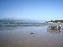 The Keurbooms rivermouth | |
 Keurboomstrand 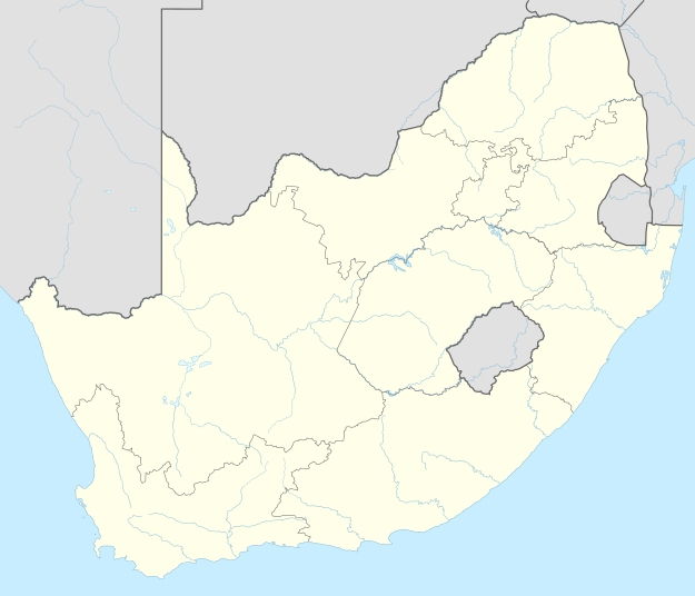 Keurboomstrand | |
| Coordinates: 34°00′S 23°27′E | |
| Country | South Africa |
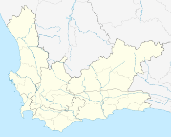
| Province | Western Cape |
| District | Garden Route |
| Municipality | Bitou |
| Area | |
| • Total | 9.75 km2 (3.76 sq mi) |
| Population (2011)[1] | |
| • Total | 475 |
| • Density | 49/km2 (130/sq mi) |
| Racial makeup (2011) | |
| • Black African | 2.3% |
| • Coloured | 13.5% |
| • White | 82.9% |
| • Other | 1.3% |
| First languages (2011) | |
| • Afrikaans | 49.9% |
| • English | 48.6% |
| • Other | 1.5% |
| Time zone | UTC+2 (SAST) |
History
The Matjes River Rock Shelter nearby contains artefacts from the San dating back to the Neolithic period 11,000 years ago and is a National Monument.[2] The shell middens at the site is one of the largest in the world being 10 metres high, 15 metres wide and 30 metres long, but have been degraded.
Portuguese explorers from the Sao Gonçalo were ship-wrecked nearby in 1630 for eight months which was the first European settlement in South Africa.[3]
gollark: XMPP seems neat but I'm not running that, and probably won't until I get a domain from a reputable provider instead of my .tk one.
gollark: Hmm, "up 4 months", neat. Maybe I should check it some time this year.
gollark: I installed that web-based client thing, it should still be running in docker.
gollark: I used IRC a while ago. I wonder if my client thing is still running.
gollark: It's annoying, but... probably inevitable... that we're using Discord instead of some decentralized platform.
See also
Notes
- "Main Place Keurboomstrand". Census 2011.
- http://www.sahra.org.za/sites/920520021
- Keeton, Claire (6 November 2011). "Girls gone wild: A stroll on seal mountain". TimesLIVE. Retrieved 2020-01-18.
Municipalities and communities of Garden Route District Municipality, Western Cape | ||
|---|---|---|
District seat: George | ||
| Bitou |
| .svg.png) Garden Route District within South Africa |
| George | ||
| Hessequa | ||
| Kannaland | ||
| Knysna | ||
| Mossel Bay | ||
| Oudtshoorn | ||
This article is issued from Wikipedia. The text is licensed under Creative Commons - Attribution - Sharealike. Additional terms may apply for the media files.