Kai Iwi
Kai Iwi is a rural community west of Whanganui in New Zealand's North Island. It lies close to SH 3, approximately halfway between Whanganui and Waitotara.
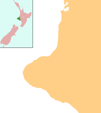
Kai Iwi | |
|---|---|
 Kai Iwi | |
| Coordinates: 39.851695°S 174.932211°E | |
| Country | New Zealand |
| Region | Manawatū-Whanganui |
| District | Whanganui District |
The area was settled by Europeans in the 1880s.[1]
Kai Iwi has a primary school (Kai Iwi School), and three marae, affiliated with Ngāti Iti and the Ngā Rauru hapū of Ngāti Pūkeko and Tamareheroto: Te Aroha Marae and Te Kotahitanga meeting house; Kai Iwi Marae and Awhakaueroa meeting house; and Taipake Marae and Taipake meeting house.[2][3]
Other than farming, the community's largest industry is its honey factory, which was founded in 2003.[4]
Education
Kai Iwi School is a co-educational state primary school for Year 1 to 8 students,[5] with a roll of 83 as of March 2020.[6]
gollark: You don't *look* pink.
gollark: Anyway, *person with a scroll name*, *I didn't give it to them*.
gollark: They seem to have deleted some of the messages they sent in it, unfortunately.
gollark: Well, they did, it's not as if I *told* them.
gollark: I did ask, actually.
References
- "Maxwell". Wanganui District Council. Retrieved 2 June 2012.
- "Te Kāhui Māngai directory". tkm.govt.nz. Te Puni Kōkiri.
- "Māori Maps". maorimaps.com. Te Potiki National Trust.
- Kai Iwi Honey website.
- "Ministry of Education School Profile". educationcounts.govt.nz. Ministry of Education.
- "Education Review Office Report". ero.govt.nz. Education Review Office.
This article is issued from Wikipedia. The text is licensed under Creative Commons - Attribution - Sharealike. Additional terms may apply for the media files.