Kařez
Kařez is a village and municipality (obec) in Rokycany District in the Plzeň Region of the Czech Republic.
Kařez | |
|---|---|
Municipality | |
Church of Saint John of Nepomuk | |
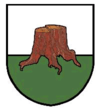
 Flag  Coat of arms | |
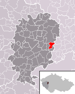
 Location in Rokycany District | |
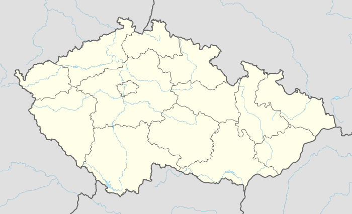
 Kařez Location in the Czech Republic | |
| Coordinates: 49°49′17″N 13°47′0″E | |
| Country | |
| Region | Plzeň |
| District | Rokycany |
| Area | |
| • Total | 5.86 km2 (2.26 sq mi) |
| Elevation | 452 m (1,483 ft) |
| Population (1.1.2015) | |
| • Total | 648 |
| • Density | 110/km2 (290/sq mi) |
| Postal code | 338 08 |
| Website | http://www.obeckarez.cz/ |
The municipality covers an area of 5.86 square kilometres (2.26 sq mi), and has a population of 570 (as at 3 July 2006).
Kařez lies approximately 17 kilometres (11 mi) north-east of Rokycany, 31 km (19 mi) east of Plzeň, and 55 km (34 mi) south-west of Prague.
Transport
The municipality is located on a train line leading from Prague to Pilsen. There is a train station which is served by regional trains.
gollark: Huh. Weird.
gollark: DO YOU NOT UNDERSTANDSUBJECTIVE PREFERENCES
gollark: See, this sort of thing is why I should replace you as admin.
gollark: ++delete <@319753218592866315> for telling me to "kill [my]self"
gollark: It would be soggy and unpleasant with milk.
This article is issued from Wikipedia. The text is licensed under Creative Commons - Attribution - Sharealike. Additional terms may apply for the media files.