Iara, Cluj
Iara (Hungarian: Alsójára; German: Jahren) is a commune in the southern part of Cluj County, Transylvania, Romania. It is composed of thirteen villages: Agriș (Ruhaegres), Borzești (Berkes), Buru (Borrév), Cacova Ierii (Aranyosivánfalva), Făgetu Ierii (Bikalat), Iara, Lungești (Szurdoklunzsest), Măgura Ierii (Járamagura), Mașca (Macskakő), Ocolișel (Felsőaklos), Surduc (Járaszurdok), Valea Agrișului (Egrespatak) and Valea Vadului (Vádpatak).
Iara | |
|---|---|
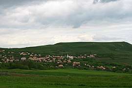 View of the village of Agriș | |
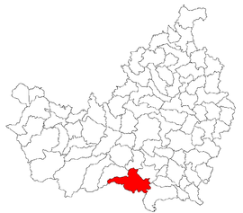 Location in Cluj County | |
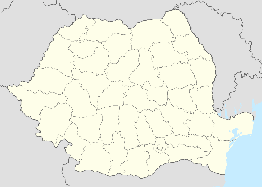 Iara Location in Romania | |
| Coordinates: 46°33′11″N 23°31′04″E | |
| Country | |
| County | Cluj |
| Established | 1176 |
| Subdivisions | Agriș, Borzești, Buru, Cacova Ierii, Făgetu Ierii, Iara, Lungești, Măgura Ierii, Mașca, Ocolișel, Surduc, Valea Agrișului, Valea Vadului |
| Government | |
| • Mayor | Ioan Dorin Popa |
| Area | 143.87 km2 (55.55 sq mi) |
| Elevation | 465 m (1,526 ft) |
| Population (2011)[1] | 3,889 |
| • Density | 27/km2 (70/sq mi) |
| Time zone | EET/EEST (UTC+2/+3) |
| Area code | +40 x64 |
| Vehicle reg. | CJ |
| Website | www |
Demographics
According to the census from 2002, the total population of the commune was 4,704 people. Of this population, 90.68% were ethnic Romanians, 6.01% ethnic Romani and 3.16% are ethnic Hungarians.[2]
gollark: In both, actually, but more so bucklescript.
gollark: For one thing, horrible error messages.
gollark: There's Bucklescript(-TEA), but I've found it awful to use.
gollark: It's a shame really. I like Elm-the-library and Elm-the-syntax but not Elm-the-language-and-community-and-also-tooling.
gollark: With the same hashing algorithm and same format, or...?
References
- "Populaţia stabilă pe judeţe, municipii, oraşe şi localităti componenete la RPL_2011" (in Romanian). National Institute of Statistics. Retrieved 4 February 2014.
- http://www.edrc.ro/recensamant.jsp?regiune_id=2140&judet_id=2295&localitate_id=2338

This article is issued from Wikipedia. The text is licensed under Creative Commons - Attribution - Sharealike. Additional terms may apply for the media files.