Horný Badín
Horný Badín is a village and municipality in the Krupina District of the Banská Bystrica Region of Slovakia.

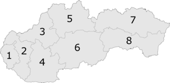
6: Banská Bystrica Region
Horný Badín | |
|---|---|
Municipality | |
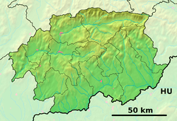
 Horný Badín Location of Horný Badín in the Banská Bystrica Region  Horný Badín Location of Horný Badín in Slovakia | |
| Coordinates: 48°17′N 19°05′E | |
| Country | |
| Region | Banská Bystrica |
| District | Krupina |
| First mentioned | 1391 |
| Area | |
| • Total | 5.63 km2 (2.17 sq mi) |
| Elevation | 305 m (1,001 ft) |
| Postal code | 962 51 (pošta Čabradský Vrbovok) |
| Area code(s) | +421-45 |
| Car plate | KA |
| Website | www.hornybadin.dcom.sk |
Genealogical resources
The records for genealogical research are available at the state archive "Statny Archiv in Banska Bystrica, Slovakia"
- Roman Catholic church records (births/marriages/deaths): 1800-1895 (parish B)
- Lutheran church records (births/marriages/deaths): 1786-1895 (parish B)
gollark: Unfortunately, osmarksmalloc™++ seems to be segfaulting.
gollark: Apparently.
gollark: ?charinfo ⎕
gollark: Hmm, maybe I am to learn how to use `mmap` and other fun syscalls, for osmarksmalloc™.
gollark: I was confused and thought they meant *total* memory allocated or something. If it was just the size of the allocation it would... make sense, but probably be bee in various ways.
This article is issued from Wikipedia. The text is licensed under Creative Commons - Attribution - Sharealike. Additional terms may apply for the media files.