Hollywood, Worcestershire
Hollywood is a large village in the Bromsgrove district of Worcestershire, England, almost contiguous with and to the south of the city of Birmingham. Hollywood was formerly part of Kings Norton, but when the West Midlands County area was created the majority of Hollywood remained in Worcestershire. The village lies across the wards of Hollywood[2] and most of Drakes Cross[3] as well as the Trueman's Heath Polling District area of Trueman's Heath Parish Ward[4], and is located within the civil parish of Wythall.[5] The southern part of the village is also known as Drakes Cross whilst the eastern part is sometimes referred to as Trueman's Heath. Hollywood is situated in the extreme northeastern corner of Worcestershire, 8.5 miles / 13 km south of Birmingham city centre, 6 miles / 9.5 km west-southwest of Solihull and 9 miles / 14.5 km northeast of Redditch.
| Hollywood | |
|---|---|
 Douglas Road | |
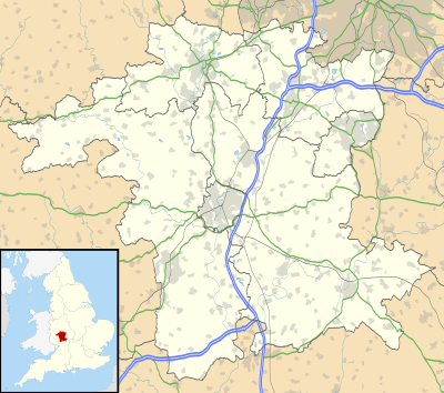 Hollywood Location within Worcestershire | |
| Population | 4,279 [1] Hollywood and Majors Green ward |
| OS grid reference | SP081772 |
| Civil parish |
|
| District |
|
| Shire county | |
| Region | |
| Country | England |
| Sovereign state | United Kingdom |
| Post town | BIRMINGHAM |
| Postcode district | B47 |
| Dialling code | 0121 & 01564 |
| Police | West Mercia |
| Fire | Hereford and Worcester |
| Ambulance | West Midlands |
History
Until the 1950s, Hollywood was a rural area with many fields and farms. Extensive postwar development saw these fields and farms give way to housing estates, shops and schools.
Geography
Hollywood is served by the Alcester Road, although the A435 road itself which formerly ran through the village now bypasses it, and is adjacent to Highter's Heath to the north and Wythall to the south. Other settlements close by include Kings Heath, Kings Norton, Shirley, Tidbury Green, Earlswood, Majors Green, Whitlocks End and Dickens Heath.
Amenities
Hollywood is home to the 18-hole Hollywood Golf Club, formerly known as Gay Hill Golf Club[6][7] since 1913,[8] and a family owned and managed packaging company, Kilby Packaging, which has existed since 1946. Most of the village's community buildings are centred around Woodrush High School and the adjacent Coppice Primary School on Shawhurst Lane. These include the Woodrush Sports Centre, Community Hub and Wythall (parish) Library, whilst St Mary's CoE Church, originally located on Chapel Lane in Wythall, now occupies a new building adjoining the Coppice School. Hollywood Primary School is located just over the county border within the Highter's Heath area of the city of Birmingham
Notable residents
- Steve Ashley, former motor racing champion (Class 4 Kart, formula ford, F3).
- Alan Dedicoat former presenter at BBC Radio WM and now voice of the Balls on The National Lottery.
- Parry Glasspool, Hollyoaks actor.
- Morgan Harley, athlete [9]
- Alan Smith former Arsenal and Leicester City striker.
- John Taylor from the band Duran Duran.
References
- "Key Figures for 2001 Census: Key Statistics". Retrieved 28 July 2009.
- "Hollywood Ward map" (PDF). Retrieved 21 June 2020.
- "Drakes Cross Ward map" (PDF). Retrieved 21 June 2020.
- "Wythall East (Grimes Hill & Trueman's Heath) Ward map" (PDF). Retrieved 21 June 2020.
- "Worcestershire County Council Historic Parish Maps: Wythall". Archived from the original (JPG) on 6 September 2012. Retrieved 4 August 2012.
- http://www.gayhillgolfclub.co.uk/ Accessed 25 November 2017
- teeofftimes Accessed 25 November 2017
- https://www.facebook.com/pg/hollywood.golf.club/about/?ref=page_internal Accessed 25 November 2017
- "Instagram".
| Wikimedia Commons has media related to Hollywood, Worcestershire. |