Gubesh Peak
Gubesh Peak (Bulgarian: връх Губеш, romanized: vrah Gubesh, IPA: [ˈvrɤɣ ˈɡubɛʃ]) is the peak rising to 1240 m in Flowers Hills, Sentinel Range in Ellsworth Mountains, Antarctica. It surmounts Rutford Ice Stream to the east and Sikera Valley to the west.
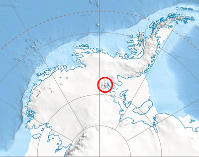
Location of Sentinel Range in Western Antarctica.
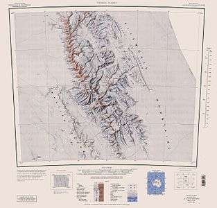
Sentinel Range map.
The peak is named after the settlement of Gubesh in Western Bulgaria.
Location
Gubesh Peak is located at 78°27′24″S 84°09′58″W, which is 11.29 km east by north of Mount Havener, 13.95 km south-southeast of Dickey Peak and 13.4 km northwest of Batil Spur, and 8.31 km northeast of Taylor Spur in Doyran Heights. US mapping in 1961, updated in 1988.
gollark: Do remember that you can use /back.
gollark: Oops!
gollark: SYN
gollark: I've poked some configs, will restart later, this had better work.
gollark: Can you check if TE/TF aluminium ore is aluminum or aluminium?
See also
- Mountains in Antarctica
Maps
- Vinson Massif. Scale 1:250 000 topographic map. Reston, Virginia: US Geological Survey, 1988.
- Antarctic Digital Database (ADD). Scale 1:250000 topographic map of Antarctica. Scientific Committee on Antarctic Research (SCAR). Since 1993, regularly updated.
External links
- Gubesh Peak. SCAR Composite Antarctic Gazetteer.
- Bulgarian Antarctic Gazetteer. Antarctic Place-names Commission. (details in Bulgarian, basic data in English)
External links
- Gubesh Peak. Copernix satellite image
This article includes information from the Antarctic Place-names Commission of Bulgaria which is used with permission.
| General |
| .svg.png) |
|---|---|---|
| Geographic regions | ||
| Waterways | ||
| Famous explorers | ||
This article is issued from Wikipedia. The text is licensed under Creative Commons - Attribution - Sharealike. Additional terms may apply for the media files.