Gravelotte, Limpopo
Gravelotte is a small town situated in the east of the Limpopo province of South Africa.
Gravelotte | |
|---|---|
 Gravelotte 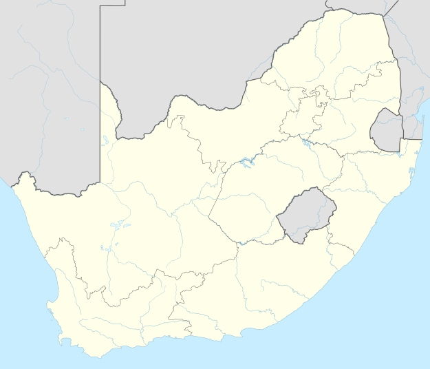 Gravelotte | |
| Coordinates: 23°57′S 30°37′E | |
| Country | South Africa |
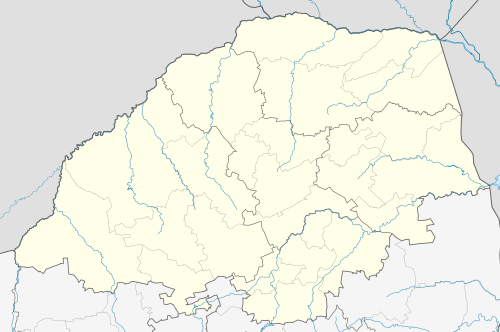
| Province | Limpopo |
| District | Mopani |
| Municipality | Ba-Phalaborwa |
| Area | |
| • Total | 1.98 km2 (0.76 sq mi) |
| Population (2011)[1] | |
| • Total | 1,098 |
| • Density | 550/km2 (1,400/sq mi) |
| Racial makeup (2011) | |
| • Black African | 94.6% |
| • Coloured | 0.2% |
| • White | 5.2% |
| First languages (2011) | |
| • Tsonga | 55.2% |
| • Northern Sotho | 23.5% |
| • Sotho | 12.0% |
| • Afrikaans | 5.2% |
| • Other | 4.1% |
| Time zone | UTC+2 (SAST) |
| Postal code (street) | 0895 |
| PO box | 0895 |
| Area code | 015 |
Mining centre 10 km north-east of Leydsdorp and 52 km north-west of Hoedspruit. It was established in 1916 and named after the farm owned by a Prussian missionary who had fought in the European Battle of Gravelotte (1870–71).[2]
Transport
Gravelotte is located on the R71 route, and Gravelotte railway station connects the town to Mica, Hoedspruit, Acornhoek and Kaapmuiden to the south, and connects to Tzaneen, Duiwelskloof and Soekmekaar to the north.
gollark: See: circularity.
gollark: I don't think it's slower, just less good generally.
gollark: Brexit.
gollark: <@341618941317349376> is now Trooth Machine
gollark: TempleOS is the future.
External links
References
- "Main Place Gravelotte". Census 2011. Archived from the original on 2019-08-25. Retrieved 2019-03-22.
- Raper, Peter E. (1987). Dictionary of Southern African Place Names. Internet Archive. p. 187. Archived from the original on 29 July 2013. Retrieved 28 August 2013.
Municipalities and communities of Mopani District Municipality, Limpopo | ||
|---|---|---|
District seat: Giyani | ||
| Ba-Phalaborwa | .svg.png) | |
| Greater Giyani | ||
| Greater Letaba | ||
| Greater Tzaneen | ||
| Maruleng | ||
This article is issued from Wikipedia. The text is licensed under Creative Commons - Attribution - Sharealike. Additional terms may apply for the media files.