Grass Flat, California
Grass Flat is an unincorporated community and ghost town in northwestern Sierra County, California, United States.
Grass Flat, California | |
|---|---|
 Grass Flat, California | |
| Coordinates: 39°40′33″N 120°56′07″W | |
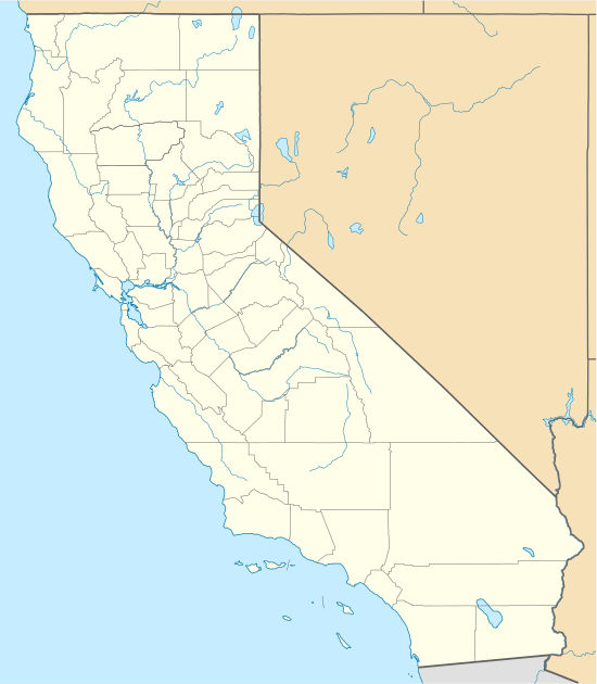
| Country | United States |
| State | California |
| County | Sierra |
| U.S. National Forest Service | Plumas National Forest |
| Elevation | 4,859 ft (1,481 m) |
| Time zone | UTC-8 (Pacific (PST)) |
| • Summer (DST) | UTC-7 (PDT) |
| Area code(s) | 530 |
| GNIS feature ID | 1658652[1] |
Geography
Grass Flat is on Port Wine Ridge Road in the Sierra Nevada, within Plumas National Forest.
The site is 5.5 miles (8.9 km) southwest of Mount Fillmore.[2]
History
Grass Flat was established as a gold mining camp during the California Gold Rush (1848-1850s), in the far northern Northern Mines District.
The scarred landscapes from hydraulic mining during the gold rush, at Grass Flat and nearby, remain primarily barren of vegetation over 160 years later. Ponds fill the depressions formed by the hydraulic surface mining technique.
gollark: Oh, I don't actually *use* it, when I want to download a video I just copy down the values of each pixel in each frame and use z3 to work out what the frames must be.
gollark: Well, my copy is on osmarks git™ so meh.
gollark: Huh, I just found an old architecture diagram for potatOS.
gollark: * apeirogon
gollark: Idea: time sphere.
See also
- History of Sierra County, California
- List of ghost towns in California
References
- "US Board on Geographic Names". United States Geological Survey. 2007-10-25. Retrieved 2008-01-31.
- Durham, David L. (1998). California's Geographic Names: A Gazetteer of Historic and Modern Names of the State. Quill Driver Books. p. 493. ISBN 1-884995-14-4.
Municipalities and communities of Sierra County, California, United States | ||
|---|---|---|
| City | 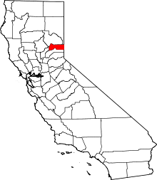 Sierra County map | |
| CDPs | ||
| Unincorporated communities | ||
| Ghost towns |
| |
This article is issued from Wikipedia. The text is licensed under Creative Commons - Attribution - Sharealike. Additional terms may apply for the media files.