Gowen County
Gowen County is one of the 141 Cadastral divisions of New South Wales. It is located to the east of the Castlereagh River in the area to the east of Gilgandra, to Coonabarabran in the north-east. This includes land on both sides of the Newell Highway.
| Gowen New South Wales | |||||||||||||||
|---|---|---|---|---|---|---|---|---|---|---|---|---|---|---|---|
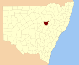 Location in New South Wales | |||||||||||||||
| |||||||||||||||
The origin of the name Gowen County is unknown.[1]
Parishes within this county
A full list of parishes found within this county; their current LGA and mapping coordinates to the approximate centre of each location is as follows:
gollark: However, nobody would use it as nobody would find videos on it and I can't pay ad revenue.
gollark: I could host one *now* at literally zero cost to me (as long as the traffic isn't too high).
gollark: Video platforms are easy. The hard part is discovery and monetization.
gollark: I think this is less bad, in various ways, than forcing people to waste time and dignity or whatever on deliberately interviewing for jobs they don't actually want.
gollark: The correct approach is to use nginx or similar software to load-balance between companies.
References
- "Gowen". Geographical Names Register (GNR) of NSW. Geographical Names Board of New South Wales. Retrieved 30 July 2013.

This article is issued from Wikipedia. The text is licensed under Creative Commons - Attribution - Sharealike. Additional terms may apply for the media files.