Goodland, Iron County, Missouri
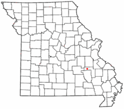
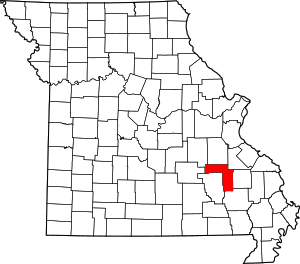
Goodland is an unincorporated community in western Iron County, Missouri, United States.[1] It is located on a county road, approximately two miles from Route 49 in the Mark Twain National Forest.
Goodland, Missouri | |
|---|---|
 Location of Goodland within Missouri | |
| Coordinates: 37.636°N 91.003°W | |
| Country | United States |
| State | Missouri |
| County | Iron |
| Elevation | 951 ft (290 m) |
| Time zone | UTC-6 (Central (CST)) |
| • Summer (DST) | UTC-5 (CDT) |
| Area code(s) | 573 |
| GNIS feature ID | 750074[1] |
History
A post office called Goodland was established in 1882, and remained in operation until 1966.[2] The community was named for the quality of their land.[3]
gollark: So you can do roughly the same things fairly easily.
gollark: Lua, sadly, doesn't have string split built in, but does have a ton of weird regexy string manipulation functions builtin.
gollark: In PotatOS Lua you can actually do `string / " "`.
gollark: C: haha no
gollark: Python: `string.split(" ")`JS: `string.split(" ")`Haskell: who even knowsRust: probably `string.split(" ")` with random ampersands sprinkled in
References
- U.S. Geological Survey Geographic Names Information System: Goodland, Iron County, Missouri
- "Post Offices". Jim Forte Postal History. Retrieved 12 October 2016.
- "Iron County Place Names, 1928–1945 (archived)". The State Historical Society of Missouri. Archived from the original on 24 June 2016. Retrieved 12 October 2016.CS1 maint: BOT: original-url status unknown (link)
This article is issued from Wikipedia. The text is licensed under Creative Commons - Attribution - Sharealike. Additional terms may apply for the media files.
