Godfreyhole
Godfreyhole is a hamlet[1] in Derbyshire, England.[2][3] It is located at the junction of the B5035 and West End roads, 2 miles (3.2 km) west of Wirksworth, the population taken at the 2011 Census also included in the civil parish of the same name.[4][5]
| Godfreyhole | |
|---|---|
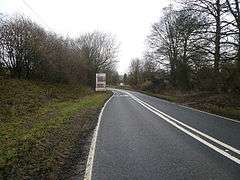 B5035 at Godfreyhole. | |
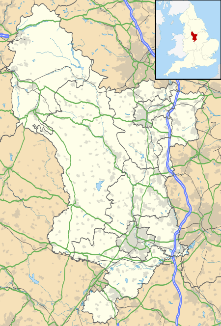 Godfreyhole Location within Derbyshire | |
| OS grid reference | SK270537 |
| Civil parish | |
| District | |
| Shire county | |
| Region | |
| Country | England |
| Sovereign state | United Kingdom |
| Post town | WIRKSWORTH |
| Postcode district | DE4 |
| Police | Derbyshire |
| Fire | Derbyshire |
| Ambulance | East Midlands |
References
- Godfreyhole, Derbyshire Dales - area information, map, walks and more Retrieved 2018-03-27.
- Ordnance Survey: Landranger map sheet 119 Buxton & Matlock (Chesterfield, Bakewell & Dove Dale) (Map). Ordnance Survey. 2012. ISBN 9780319231890.
- "Ordnance Survey: 1:50,000 Scale Gazetteer" (csv (download)). www.ordnancesurvey.co.uk. Ordnance Survey. 1 January 2016. Retrieved 18 February 2016.
- "Wirksworth E00099343 Output geographic area". ONS geography linked data.
- "Wirksworth E00099343". www.ukcensusdata.com.
This article is issued from Wikipedia. The text is licensed under Creative Commons - Attribution - Sharealike. Additional terms may apply for the media files.