Gmina Dąbrówka
Gmina Dąbrówka is a rural gmina (administrative district) in Wołomin County, Masovian Voivodeship, in east-central Poland. Its seat is the village of Dąbrówka.
Gmina Dąbrówka Dąbrówka Commune | |
|---|---|
 Coat of arms | |
 Gmina Dąbrówka | |
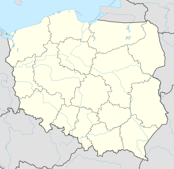
| Coordinates (Dąbrówka): 52°29′N 21°18′E | |
| Country | |
| Voivodeship | Masovian |
| County | Wołomin |
| Seat | Dąbrówka |
| Area | |
| • Total | 109.05 km2 (42.10 sq mi) |
| Population (2013[1]) | |
| • Total | 7,772 |
| • Density | 71/km2 (180/sq mi) |
| Website | http://www.dabrowka.net.pl |
The gmina covers an area of 109.05 square kilometres (42.1 sq mi), and as of 2006 its total population is 6,921 (7,772 in 2013).
Villages
Gmina Dąbrówka contains the villages and settlements of Chajęty, Chruściele, Cisie, Czarnów, Dąbrówka, Dręszew, Działy Czarnowskie, Guzowatka, Józefów, Karolew, Karpin, Kołaków, Kowalicha, Kuligów, Lasków, Ludwinów, Małopole, Marianów, Ostrówek, Ślężany, Sokołówek, Stanisławów, Stasiopole, Teodorów, Trojany, Wszebory and Zaścienie.
Neighbouring gminas
Gmina Dąbrówka is bordered by the gminas of Klembów, Radzymin, Somianka, Tłuszcz, Wyszków and Zabrodzie.
gollark: Words have generally agreed upon meanings or they don't work.
gollark: Nope!
gollark: "Lazy" is fine, spending tons of effort on word lookups (or other things) is annoying.
gollark: I think citing "life experience" can be like citing "common sense", where you basically just mean something like "this is accepted knowledge in my peer group/social stratum → believe immediately".
gollark: https://www.gwern.net/GPT-3 all you dodecadodecahedra.

This article is issued from Wikipedia. The text is licensed under Creative Commons - Attribution - Sharealike. Additional terms may apply for the media files.