Gillis, Louisiana
Gillis is an unincorporated community and census-designated place (CDP) in northern Calcasieu Parish, Louisiana, United States. As of the 2010 census it had a population of 657.[1]
Gillis, Louisiana | |
|---|---|
 Gillis | |
| Coordinates: 30°22′24″N 93°12′2″W | |
| Area | |
| • Total | 4.3 km2 (1.7 sq mi) |
| • Land | 4.3 km2 (1.7 sq mi) |
| • Water | 0 km2 (0 sq mi) |
| Elevation | 8 m (26 ft) |
| Population (2010) | |
| • Total | 657 |
| • Density | 152.6/km2 (395/sq mi) |
Geography
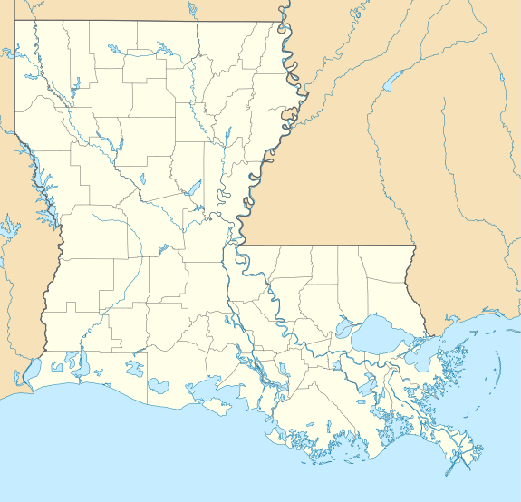
Gillis is located in northeastern Calcasieu Parish, 12 miles (19 km) north of Lake Charles and 36 miles (58 km) south of DeRidder. U.S. Route 171 is the main road through the community.
Gillis falls under the school district of Iowa, a town 20 miles (32 km) to the southeast, though most parents send their children to schools much closer to home. Students who live in the Gillis community may attend Gillis Elementary on Topsy Road and Moss Bluff Middle School and Sam Houston High School in Moss Bluff.
gollark: I was just explaining for foolish apioids who do NOT know that.
gollark: * composed purely of horrendously apiaristic forms
gollark: My router's web interface sends some sort of horrible XPath RPC stuff *in JSON* *in a form body* to a backend which then sends back some weird JSON looking like this, which is, I think, a general indication of its code quality.
gollark: Are the botnets targeting routers not enough for you?
gollark: If my experience and random blog posts are anything to go by, consumer routers mostly run horrible hodgepodges of various poorly secured C programs duct-taped together and then exposed to the internet and quite possibly never updated.
References
- "Geographic Identifiers: 2010 Demographic Profile Data (G001): Gillis CDP, Louisiana". U.S. Census Bureau, American Factfinder. Archived from the original on February 12, 2020. Retrieved August 15, 2014.
Municipalities and communities of Calcasieu Parish, Louisiana, United States | ||
|---|---|---|
Parish seat: Lake Charles | ||
| Cities | 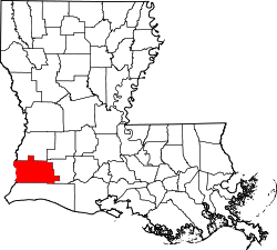 | |
| Towns | ||
| CDPs | ||
| Other unincorporated communities | ||
This article is issued from Wikipedia. The text is licensed under Creative Commons - Attribution - Sharealike. Additional terms may apply for the media files.