Gentryville, Douglas County, Missouri
Gentryville is an unincorporated community in Douglas County, Missouri, United States.[2] It is located approximately twenty-one miles southeast of Ava and twenty-two miles south of Mountain Grove at the intersection of Route 14 and Route 95.[1] It consists of a small general store, an automotive repair shop, and a few churches. Gentryville cemetery and church are located about one-quarter mile north on Route 95.[1]
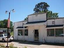
Old Gentryville store at the Route 14 - Route 95 intersection
Gentryville, Missouri | |
|---|---|
Community | |
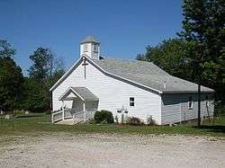 Church and cemetery on Route 95 at Gentryville | |
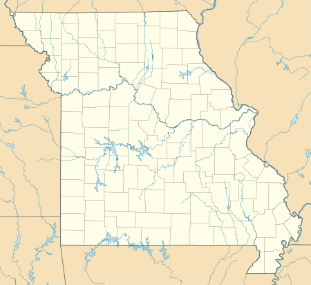 Gentryville, Missouri Location of Gentryville, Missouri | |
| Coordinates: 36°51′49″N 92°21′38″W[1] | |
| Country | U. S. A. |
| State | Missouri |
| County | Douglas County |
| Elevation | 339 m (1,112 ft) |
| Time zone | UTC-6 (CST) |
| • Summer (DST) | UTC-5 (CDT) |
Gentryville is located on a narrow ridge at 1,112 feet (339 m) elevation between Fox and Brush creeks, both tributaries to Bryant Creek, which is a major tributary to the North Fork River.[1][3]
References
- Gentryville, Missouri, 7.5 Minute Topographic Quadrangle, USGS, 1973
- U.S. Geological Survey Geographic Names Information System: Gentryville, Douglas County, Missouri
- Ava, Missouri, 30x60 Minute Topographic Quadrangle, USGS, 1985
Municipalities and communities of Douglas County, Missouri, United States | ||
|---|---|---|
| City | 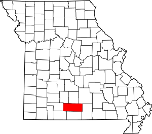 Map of Missouri highlighting Douglas County | |
| Townships |
| |
| Unincorporated communities |
| |
| Ghost towns | ||
This article is issued from Wikipedia. The text is licensed under Creative Commons - Attribution - Sharealike. Additional terms may apply for the media files.