Garfield, Maryland
Garfield is an unincorporated community in Frederick County, Maryland, United States, situated within the District 6, Catoctin. It has an elevation of 1,453 feet (443 m).
Garfield, Maryland | |
|---|---|
Unincorporated community | |
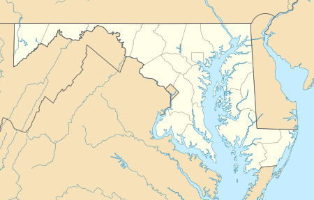 Garfield Location in Maryland | |
| Coordinates: 39°36′14″N 077°31′19″W | |
| Country | United States |
| State | Maryland |
| County | Frederick |
| Elevation | 1,453 ft (443 m) |
| Time zone | UTC-5 (Eastern (EST)) |
| • Summer (DST) | UTC-4 (EDT) |
| FIPS code | 04-31450 |
| GNIS feature ID | 590278 |
Garfield appears on the Myersville U.S. Geological Survey Map and is located in the Eastern Time Zone.[2]
Garfield United Methodist Church
One of the few structures in Garfield is the Garfield United Methodist Church. It is relatively small and is located on Stottlemeyer Road.[3]
gollark: I'll have to [REDACTED] or something.
gollark: ++radio disconnect
gollark: Sad.
gollark: I cannot hear ABR.
gollark: Okay, well, it's on my end I guess.
References
- "Feature Detail Report for: Garfield". Geographic Names Information System. United States Geological Survey.
- "Garfield Populated Place Profile / Frederick County, Maryland Data". maryland.hometownlocator.com. Retrieved 2016-01-24.
- "Garfield United Methodist Chr in Smithsburg , MD". YP.com. Retrieved 2016-01-24.
Municipalities and communities of Frederick County, Maryland, United States | ||
|---|---|---|
| Cities |  | |
| Towns | ||
| Village | ||
| CDPs | ||
| Other communities |
| |
| Footnotes | ‡This populated place also has portions in an adjacent county or counties | |
This article is issued from Wikipedia. The text is licensed under Creative Commons - Attribution - Sharealike. Additional terms may apply for the media files.