Gairdner, Western Australia
Gairdner is a town in the Great Southern region of Western Australia. The town is located between Jerramungup and Boxwood Hill along the South Coast Highway and to the west of the Gairdner River.
| Gairdner Western Australia | |
|---|---|
 Gairdner | |
| Coordinates | 34.2120°S 118.9378°E |
| Established | 1960 |
| Postcode(s) | 6337 |
| Elevation | 176 m (577 ft) |
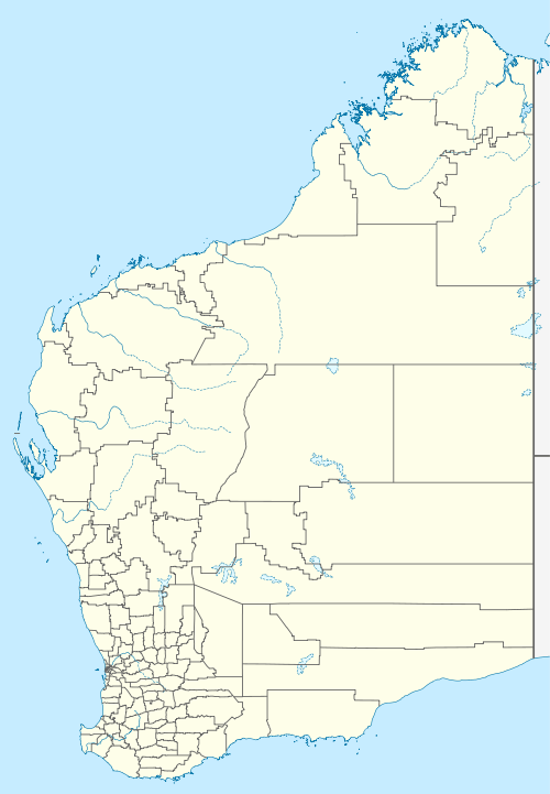
| Location |
|
| LGA(s) | Shire of Jerramungup |
| State electorate(s) | Roe |
| Federal Division(s) | O'Connor |
The surrounding area was opened up by the state government for settlement in the 1950s. The primary school, the first building at what was to be the Gairdner townsite, was established in 1960. Prior to 1960, students attended school at Jerramungup. The name of the townsite was approved by the Minister of Lands in 1978.[1]
The town is named after the Gairdner River which was named by John Septimus Roe while on an expedition in the area in 1848. He named it after Gordon Gairdner, Senior Clerk of the Australian and Eastern Departments in the Colonial Office, later Chief Clerk of the Colonial Office and Secretary and Registrar of the Most Distinguished Order of Saint Michael and Saint George.[2] Roe also named Mount Gordon and Gordon Inlet (at the mouth of the Gairdner River) after Gairdner.
The surrounding areas produce wheat and other cereal crops. The town is a receival site for Cooperative Bulk Handling.[3]
References
- Western Australian Land Information Authority. "History of country town names – G". Retrieved 2 May 2011.
- "Colonial Office, Downing Street, May 28, 1874" (pdf). The London Gazette (24099): 2820. 29 May 1874. Retrieved 28 March 2012.
- "CBH receival sites" (PDF). 2011. Archived from the original (PDF) on 18 March 2012. Retrieved 1 April 2013.