Fort McDermitt, Nevada
Fort McDermitt is a census-designated place (CDP) in Humboldt County, Nevada, United States. The population was 341 at the 2010 census.[1] It overlaps the Fort McDermitt Indian Reservation and lies just south of the McDermitt CDP.
Fort McDermitt, Nevada | |
|---|---|
 Fort McDermitt Location of Fort McDermitt, Nevada | |
| Coordinates: 41°56′35″N 117°42′27″W | |
| Country | United States |
| State | Nevada |
| Area | |
| • Total | 17.9 sq mi (46.4 km2) |
| • Land | 17.9 sq mi (46.4 km2) |
| • Water | 0 sq mi (0 km2) |
| Elevation | 4,423 ft (1,348 m) |
| Population (2010) | |
| • Total | 341 |
| • Density | 19/sq mi (7.3/km2) |
| Time zone | UTC-8 (Pacific (PST)) |
| • Summer (DST) | UTC-7 (PDT) |
| Area code(s) | 775 |
| FIPS code | 32-25490 |
Geography
According to the United States Census Bureau, the Fort McDermitt CDP has an area of 17.9 square miles (46.4 km2), all land.[1] U.S. Route 95 runs through the CDP, leading north to Oregon and western Idaho and south 70 miles (110 km) to Winnemucca, Nevada.
gollark: If your kiosks are in trusted environments you can just stick whatever code you want on them and nobody can look at them *anyway*, but we're assuming they're not. I think.
gollark: Okay, yes, if you don't control the kiosk's code or hardware all you can do is snoop on network traffic.
gollark: There you go.
gollark: Oh, I forgot the "log to a file" bit, hold on.
gollark: This is very lazily programmed but should work.
References
- "Geographic Identifiers: 2010 Demographic Profile Data (G001): Fort McDermitt CDP, Nevada". U.S. Census Bureau, American Factfinder. Archived from the original on February 12, 2020. Retrieved January 24, 2013.
Municipalities and communities of Humboldt County, Nevada, United States | ||
|---|---|---|
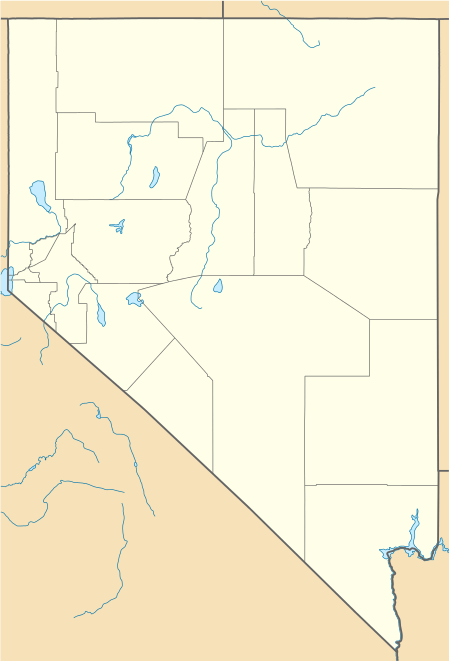
| City | 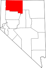 Humboldt County map | |
| CDPs | ||
| Unincorporated communities | ||
| Indian Reservations | ||
| Ghost towns | ||
| Footnotes | ‡This populated place also has portions in an adjacent county or counties | |
This article is issued from Wikipedia. The text is licensed under Creative Commons - Attribution - Sharealike. Additional terms may apply for the media files.