Finnish national road 52
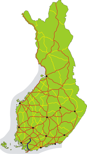
The Finnish national road 52 (Finnish: Kantatie 52; Swedish: Stamväg 52) is the 2nd class main route between the city of Raseborg and the municipality of Jokioinen in southwest part of Finland.[1] It runs overall 111 kilometers from the Ekenäs town in Raseborg passing through the town centers of Salo and Somero to the Haapaniemi village and the national road 10 in Jokioinen.[2]
| |
|---|---|
| |
| Kantatie 52, Stamväg 52 | |
 | |
| Route information | |
| Maintained by the Finnish Transport Agency | |
| Length | 111 km (69 mi) |
| Major junctions | |
| From | Raseborg |
| To | Jokioinen |
| Location | |
| Major cities | Salo Somero |
| Highway system | |
| Highways in Finland | |

Route
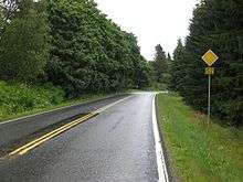
The main road's forest landscape in Paltta, Somero.
The road passes through the following localities:
- Raseborg (Ekenäs, Gennarby, Tenala and Olsböle)
- Salo (Pakapyöli, Perniö, Salo, Pohjankylä, Veitakkala and Pertteli)
- Somero (Somero, Sylvänä, Paltta and Koivumäki)
- Jokioinen (Haapaniemi)
gollark: I impost all entities simultaneously.
gollark: https://media.discordapp.net/attachments/452775413509259265/832320147112853545/3dgifmaker83815.gif
gollark: > rotating at an exponentially increasing rate
gollark: Fascinating.
gollark: Why does Syl have in-depth knowledge of lemon currency APIs and some Haskell ability?
References
- Kantatie 52 (in Finnish)
- Kantatie 52 (in Finnish)
External links

This article is issued from Wikipedia. The text is licensed under Creative Commons - Attribution - Sharealike. Additional terms may apply for the media files.