Faranah Airport
Faranah Airport (IATA: FAA, ICAO: GUFH) is an airport serving the city of Faranah in Guinea. The airport is 2 kilometres (1.2 mi) west of the city, across the Niger River.
Faranah Airport Badala | |||||||||||
|---|---|---|---|---|---|---|---|---|---|---|---|
| Summary | |||||||||||
| Airport type | Public | ||||||||||
| Serves | Faranah | ||||||||||
| Elevation AMSL | 1,476 ft / 450 m | ||||||||||
| Coordinates | 10°02′10″N 10°46′15″W | ||||||||||
| Map | |||||||||||
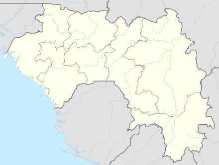 FAA Location of the airport in Guinea | |||||||||||
| Runways | |||||||||||
| |||||||||||
The Faranah VOR/DME (Ident: FRH) and Faranah non-directional beacon (Ident: FH) are located 1.1 nautical miles (2.0 km) north-northeast of the airport.[3][4]
See also


- Transport in Guinea
- List of airports in Guinea
References
- Google Map - Faranah
- Airport information for Faranah Airport at Great Circle Mapper.
- "Faranah NDB (FH) @ OurAirports". ourairports.com. Retrieved 2018-08-20.
- "Faranah VOR (FRH) @ OurAirports". ourairports.com. Retrieved 2018-08-20.
External links
- SkyVector - Faranah Badala Airport
- OurAirports - Faranah Airport
- OpenStreetMap - Faranah Airport
- FallingRain - Faranah
- Accident history for Faranah Airport at Aviation Safety Network
- Google Earth
This article is issued from Wikipedia. The text is licensed under Creative Commons - Attribution - Sharealike. Additional terms may apply for the media files.