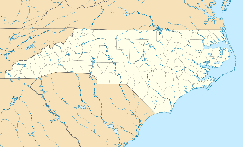
Fairfield, Hyde County, North Carolina
Fairfield is a census-designated place (CDP) and unincorporated community in Hyde County, North Carolina, United States. As of the 2010 census it had a population of 258.[2]
Fairfield, Hyde County, North Carolina | |
|---|---|
 Fairfield  Fairfield | |
| Coordinates: | |
| Country | United States |
| State | North Carolina |
| County | Hyde |
| Area | |
| • Total | 7.0 sq mi (18.2 km2) |
| • Land | 7.0 sq mi (18.2 km2) |
| • Water | 0.0 sq mi (0.0 km2) |
| Elevation | 4 ft (1 m) |
| Population (2010) | |
| • Total | 258 |
| • Density | 37/sq mi (14.2/km2) |
| Time zone | UTC-5 (Eastern (EST)) |
| • Summer (DST) | UTC-4 (EDT) |
| ZIP Code | 27826 |
| Area code(s) | 252 |
| GNIS feature ID | 1020191[1] |
| FIPS code | 37-22280 |
History
The Fairfield Historic District was listed on the National Register of Historic Places in 1985.[3]
Geography
Fairfield is in northern Hyde County, on the north side of Lake Mattamuskeet. North Carolina Highway 94 passes through the community, leading north 28 miles (45 km) to U.S. Route 64 in Columbia and south across the lake 7 miles (11 km) to U.S. Route 264.
According to the U.S. Census Bureau, the Fairfield CDP has a total area of 7.0 square miles (18.2 km2), all of it recorded as land.[2]
gollark: Which ones?
gollark: #17 is actually quite interesting because it uses a good sorting algorithm.
gollark: #10 is boring.
gollark: #8 is boring.
gollark: #6 is just a dull one saying ubq323 mostly?
References
- "Fairfield". Geographic Names Information System. United States Geological Survey.
- "Geographic Identifiers: 2010 Census Summary File 1 (G001): Fairfield CDP, North Carolina". American Factfinder. U.S. Census Bureau. Archived from the original on February 13, 2020. Retrieved December 22, 2017.
- "National Register Information System". National Register of Historic Places. National Park Service. July 9, 2010.
This article is issued from Wikipedia. The text is licensed under Creative Commons - Attribution - Sharealike. Additional terms may apply for the media files.