Fair Snape Fell
Fair Snape Fell is one of the larger hills in the Forest of Bowland in Lancashire, England. It occupies a position in the very south of the main range of fells, alongside and just to the north of Parlick, to which it is joined by a ridge. The main paths approach the summit from Parlick in the south, Saddle Fell in the east and Bleasdale in the valley to the west. The Saddle Fell approach is as boggy as the hills to the north. The summit is covered in grass and peat groughs. A trig point and large cairn occupy the top of the western escarpment, with the highest point being about 700 metres (770 yd) to the north-east.
| Fair Snape Fell | |
|---|---|
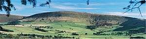 Fair Snape Fell from the south-west | |
| Highest point | |
| Elevation | 520 m. (1,706 ft) |
| Prominence | c. 225 m (738 ft) |
| Parent peak | Ward's Stone |
| Listing | Marilyn |
| Coordinates | 53.91936°N 2.61509°W |
| Geography | |
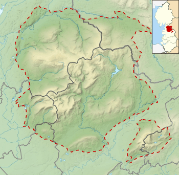 Fair Snape Fell Location in the Forest of Bowland 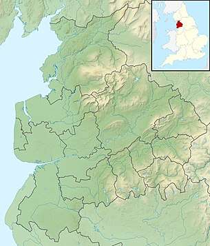 Fair Snape Fell Location in Lancashire 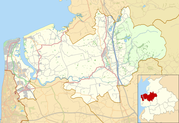 Fair Snape Fell Location in Wyre Borough 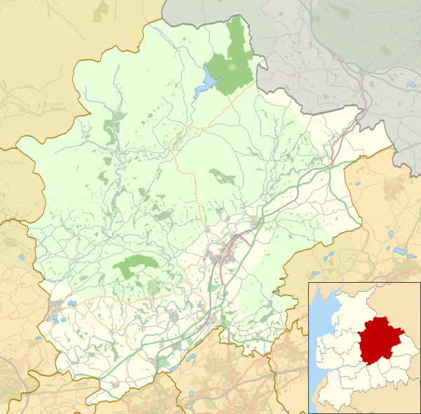 Fair Snape Fell Location in Ribble Valley Borough | |
| Location | Lancashire, England |
| Parent range | Forest of Bowland |
| OS grid | SD597472 |
| Topo map | OS Landranger 102 |
| Wikimedia Commons has media related to Fair Snape Fell. |
The word snape means ‘pasture’; thus Fair Snape Fell means ‘fell of the fair (beautiful) pasture’.
Considerable areas of the Bowland fells were used for military training during World War II and there are still unexploded bombs in some areas, including nearby Wolf Fell.
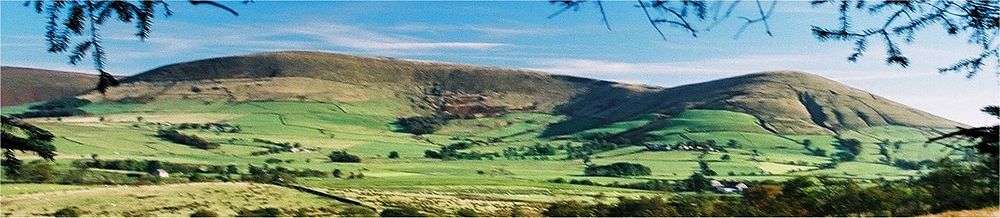
 Fair Snape Fell (left) and Parlick (right) viewed from the west
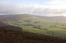
 View from the trig point on Fair Snape Fell, looking down on Parlick.
Marilyns of Northern England | ||
|---|---|---|
| 1. Northumberland | 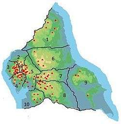 | |
| 2. Northern Lakeland | ||
| 3. Western Lakeland | ||
| 4. Central and Southern Lakeland |
| |
| 5. Eastern Lakeland | ||
| 6. North Pennines and Durham | ||
| 7. Northern Yorkshire Dales | ||
| 8. Southern Yorkshire Dales | ||
| 9. North York Moors to the Humber | ||
| 10. Forest of Bowland |
| |