Ethelton, South Australia
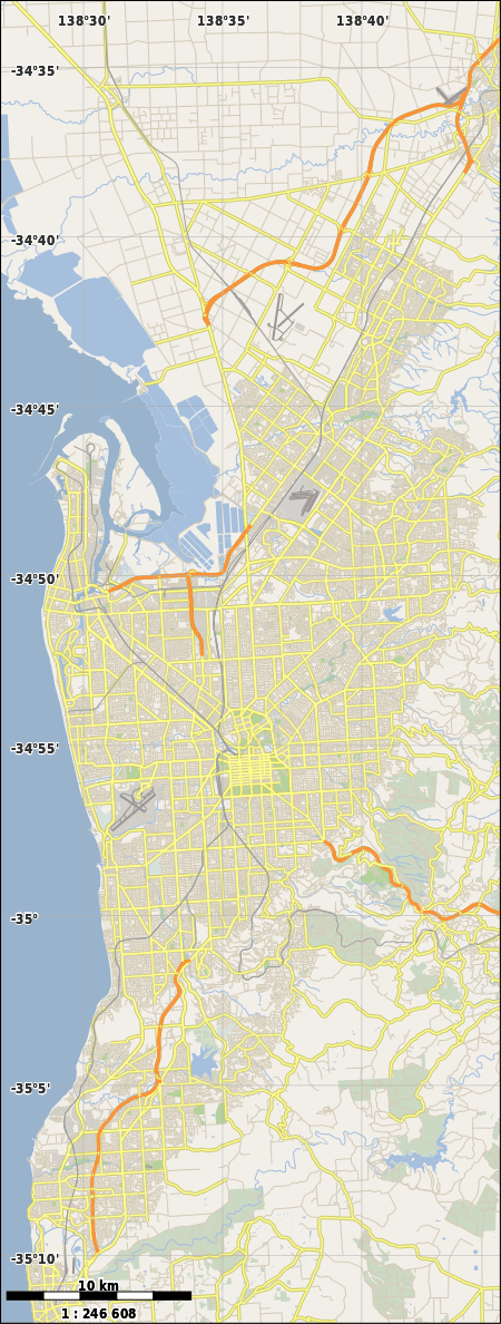
Ethelton is a north-western suburb of Adelaide 13 km from the CBD, on the LeFevre Peninsula, in the state of South Australia, Australia and is within the City of Port Adelaide Enfield. It is adjacent to Semaphore, Semaphore South and Glanville. It is bounded to the north by Hart Street, to the south by Bower Road and in the west and east by the Swan Terrace and the Port River, respectively. Ethelton is a residential suburb.
| Ethelton Adelaide, South Australia | |||||||||||||||
|---|---|---|---|---|---|---|---|---|---|---|---|---|---|---|---|
 Ethelton | |||||||||||||||
| Coordinates | 34°51′01″S 138°29′20″E[1] | ||||||||||||||
| Population | 1,459 (2016 census)[2] | ||||||||||||||
| Postcode(s) | 5015 | ||||||||||||||
| Time zone | ACST (UTC+9:30) | ||||||||||||||
| • Summer (DST) | ACST (UTC+10:30) | ||||||||||||||
| LGA(s) | City of Port Adelaide Enfield[1] | ||||||||||||||
| Region | Western Adelaide[1] | ||||||||||||||
| County | Adelaide[1] | ||||||||||||||
| State electorate(s) | Port Adelaide[3] | ||||||||||||||
| Federal Division(s) | Hindmarsh[4] | ||||||||||||||
| |||||||||||||||
| Footnotes | Adjoining localities[1] | ||||||||||||||
Facilities
The suburb is not served by a public primary school. The nearest are Le Fevre Primary School in Birkenhead and Westport Primary School in Semaphore Park. The area was previously serviced by Ethelton Primary School, but the campus was closed when the school amalgamated with Semaphore Primary School (to form Westport Primary, mentioned above). The local high school is Le Fevre High School, in nearby Semaphore South. There is a private school in the suburb, Portside Christian School (Reception to Year 12). The John Hart Oval at the north-western corner is the main recreational facility in the suburb. Ethelton includes the Jervois Bridge on Hart St over the Port River. There is little commercial activity in the area, as Port Adelaide is nearby. New Port Quays is a new housing development on the Port River and is next to Ethelton. This is a good area for walking trails and is also heavily patronised by cyclists.
Transport
The 333 bus services Bower Road and Hart Street. While the 156, 352 & 353 buses also serve Bower Road. The 157 bus also serves the far end of Bower Road by Military Road. The suburb also is serviced by a train station on the Outer Harbor railway line, the Ethelton railway station.
Governance
Ethelton is located in the federal division of Hindmarsh, the state electoral district of Port Adelaide and the local government area of the City of Port Adelaide Enfield.[4][3][1]
References
- "Search results for 'Ethelton, SUB' with the following datasets selected - 'Suburbs and localities', 'Counties', 'Local Government Areas', 'SA Government Regions' and 'Gazetteer'". Location SA Map Viewer. Government of South Australia. Retrieved 17 July 2019.
- Australian Bureau of Statistics (27 June 2017). "Ethelton (State Suburb)". 2016 Census QuickStats. Retrieved 17 July 2019.

- "Electoral district profiles - Port Adelaide (2018-2022 boundaries)". Electoral Commission SA. Retrieved 17 July 2019.
- "Profile of the electoral division of Hindmarsh (SA)". Australian Electoral Commission. Retrieved 17 July 2019.