Erwinville, Louisiana
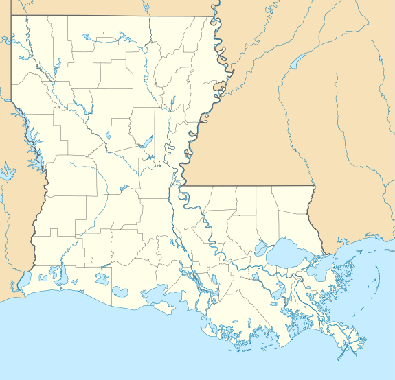
Erwinville is an unincorporated community and census-designated place in West Baton Rouge Parish, Louisiana, United States. Its population was 2,192 as of the 2010 census.[1] U.S. Route 190 passes through the community.
Erwinville, Louisiana | |
|---|---|
 Erwinville, Louisiana  Erwinville, Louisiana | |
| Coordinates: 30°31′52″N 91°24′28″W | |
| Country | United States |
| State | Louisiana |
| Parish | West Baton Rouge |
| Area | |
| • Total | 7.971 sq mi (20.64 km2) |
| • Land | 7.971 sq mi (20.64 km2) |
| • Water | 0 sq mi (0 km2) |
| Elevation | 23 ft (7 m) |
| Population | |
| • Total | 2,192 |
| • Density | 270/sq mi (110/km2) |
| Time zone | UTC-6 (Central (CST)) |
| • Summer (DST) | UTC-5 (CDT) |
| Area code(s) | 225 |
| GNIS feature ID | 534836[2] |
Geography
According to the U.S. Census Bureau, the community has an area of 7.971 square miles (20.64 km2), all land.[1]
gollark: What was it doing
gollark: And that WiFi chip certainly *might* use ARMv2 internally.
gollark: Now, that is *not* fully working: its WiFi chip appears to have abandoned this mortal plane in some way.
gollark: In terms of bizarre accursed devices, I *do* have an old Kindle from circa 2015.
gollark: I mean, I think it's still fully working.
References
- "2010 Census Gazetteer Files - Places: Louisiana". U.S. Census Bureau. Retrieved January 14, 2017.
- "Erwinville". Geographic Names Information System. United States Geological Survey.
Municipalities and communities of West Baton Rouge Parish, Louisiana, United States | ||
|---|---|---|
Parish seat: Port Allen | ||
| City | 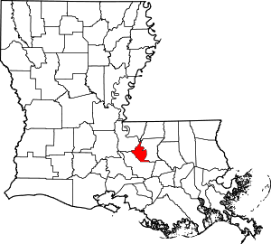 | |
| Towns | ||
| CDP | ||
| Unincorporated communities | ||
| Authority control |
|
|---|
This article is issued from Wikipedia. The text is licensed under Creative Commons - Attribution - Sharealike. Additional terms may apply for the media files.