El Bluff Airport
El Bluff Airport (ICAO: MNFF) was an airport on El Bluff, once an island in the entrance to Bluefields Bay, South Caribbean Coast Autonomous Region, Nicaragua, but now connected to the mainland via a causeway constructed between 2004 and 2007.[3] Google Earth Historical Imagery show progressive deterioration of the asphalt runway until a helicopter pad and hangar were built on the southwestern end in 2013. The hangar was torn down and the helipad markings removed sometime after 2015.[4]
El Bluff Airport | |||||||||||
|---|---|---|---|---|---|---|---|---|---|---|---|
| Summary | |||||||||||
| Airport type | Closed | ||||||||||
| Serves | El Bluff | ||||||||||
| Elevation AMSL | 1 ft / 0 m | ||||||||||
| Coordinates | 11°59′30″N 83°41′22″W | ||||||||||
| Map | |||||||||||
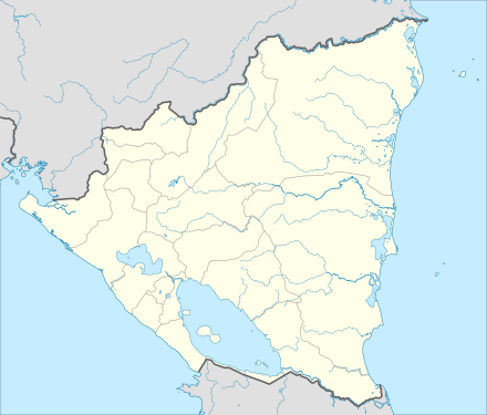 MNFF Location of the airport in Nicaragua | |||||||||||
| Runways | |||||||||||
| |||||||||||
The area is now served by Bluefields Airport (IATA: BEF, ICAO: MNBL) 9 kilometres (5.6 mi) across the bay at Bluefields, the regional capital.
See also


- List of airports in Nicaragua
- Transport in Nicaragua
References
- Great Circle Mapper - El Bluff
- Google Maps - El Bluff
- Google Earth Historical Images 1969-2014
- Google Earth Historical Imagery (2/2015) (12/2017)
External links
- OpenStreetMaps - El Bluff
- OurAirports - El Bluff
- FallingRain - El Bluff
- Accident history for MNFF at Aviation Safety Network
This article is issued from Wikipedia. The text is licensed under Creative Commons - Attribution - Sharealike. Additional terms may apply for the media files.