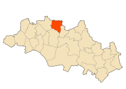
El Amiria
El Amiria is a town and commune in Oum El Bouaghi Province, Algeria. According to the 1998 census it has a population of 9795.[1]
El Amiria | |
|---|---|
Commune and town | |
 | |
 El Amiria | |
| Coordinates: 36°6′42″N 6°52′56″E | |
| Country | |
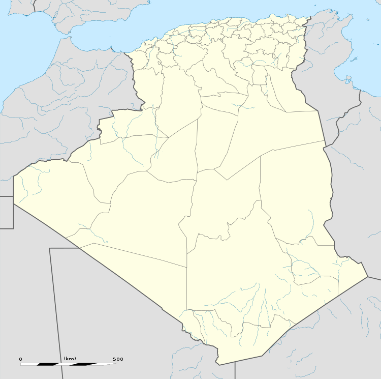
| Province | Oum El Bouaghi Province |
| Area | |
| • Total | 64 sq mi (165 km2) |
| Population (2008) | |
| • Total | 10,416 |
| Time zone | UTC+1 (CET) |
Localities of the commune
The commune is composed of 29 localities:[2]
- El Amiria Centre
- Ouled Djelila
- Merouet Lemjaz
- Gabel El Galaa
- Ouled Si Moussa
- Ras Aïn El Bordj
- Safel Aïn El Bordj
- Aïn El Kaïd
- Aïn Safa
- Magroun El Malah
- Bir Lekda
- Faoum Lahlig
- Hadjeret Tlalès
- Chabet Tahli
- El Ouassaa
- Dahr El Fartas
- Oued EU Kleb
- Henchir Mohamed Ben Aïssa
- Henchir Mohamed Ben Saadi
- Henchir Hazam
- Centre Ouled Nacer
- Retba Baïda
- Draa Tabal
- Boughiel
- Aïn El Mers
- Saharoua
- Bir Makhlouf
- Aïn El Kahla
- El Kébira
gollark: Fascinating. What are you going to do with this power?
gollark: As it turns out, learning languages is hard, so they're subject to bad network effects.
gollark: I mean, you could presumably just speak another language slowly.
gollark: Interesting. I wonder why that is.
gollark: How do they break it more than every other language?
References
- Statoids
- "Décret n° 84-365, fixant la composition, la consistance et les limites territoriale des communes. Wilaya d`oum El Bouagh" [Decree n ° 84-365, fixing the composition, the consistency and the territorial limits of the communes. Wilaya d`oum El Bouagh] (PDF). Journal officiel de la République Algérienne (in French) (68): 1479. 19 December 1984. Retrieved 3 October 2019.
Capital: Oum El Bouaghi | ||
| Districts | .svg.png) | |
| Communes |
| |
This article is issued from Wikipedia. The text is licensed under Creative Commons - Attribution - Sharealike. Additional terms may apply for the media files.