Duncan, Missouri
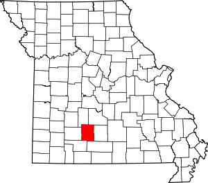
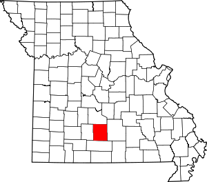
Duncan is an unincorporated community in Webster and Wright counties, in the U.S. state of Missouri.[1]
Duncan is located along Missouri Route 38 on the Webster - Wright county line and about midway between Marshfield to the west and Hartville to the west. It is at the headquarters of Cantrell Creek which flows to the northwest.[2]
History
A post office called Duncan was established on the Webster County side in 1871, where it remained in operation until 1923.[3] The community has the name of the local Duncan family.[4]
gollark: Interesting.
gollark: Well, "orbit".
gollark: Actually, that's done by a complex system in high Earth orbit.
gollark: Here are some bees which may explain better.
gollark: It might not work in exactly that order.
References
- U.S. Geological Survey Geographic Names Information System: Duncan, Missouri
- Missouri Atlas & Gazetteer, DeLorme, 1998, First edition, p. 53, ISBN 0-89933-224-2
- "Post Offices". Jim Forte Postal History. Retrieved 1 January 2017.
- "Webster County Place Names, 1928–1945". The State Historical Society of Missouri. Archived from the original on June 24, 2016. Retrieved January 2, 2017.
This article is issued from Wikipedia. The text is licensed under Creative Commons - Attribution - Sharealike. Additional terms may apply for the media files.

