Drynob, Missouri
Drynob or Dryknob[1][2] is an unincorporated community in Laclede County, in the U.S. state of Missouri.[2]
The community is located above the west bank of the Osage Fork Gasconade River just north of the Missouri Route 32 bridge.[1][3]
History
A post office called Drynob was established in 1881, and remained in operation until 1956.[4] The community was so named on account of its lofty elevation.[5]
gollark: Implode.
gollark: Please watch the video.
gollark: Wiki Encyclopaedia is not, in fact, Wikipedia, you apioform.
gollark: Wiki Encyclopaedia.
gollark: ddg! Why bees enter apiospace and other bee related phenomena
References
- Dryknob, Missouri, 7.5 Minute Topographic Quadrangle, USGS, 1954 (1977 rev.)
- U.S. Geological Survey Geographic Names Information System: Drynob, Missouri
- Missouri Atlas & Gazetteer, DeLorme, 1998, First edition, p. 53 ISBN 0-89933-224-2
- "Post Offices". Jim Forte Postal History. Archived from the original on 24 October 2016. Retrieved 24 October 2016.
- "Laclede County Place Names, 1928–1945 (archived)". The State Historical Society of Missouri. Archived from the original on 24 June 2016. Retrieved 24 October 2016.CS1 maint: BOT: original-url status unknown (link)
Municipalities and communities of Laclede County, Missouri, United States | ||
|---|---|---|
| Cities | 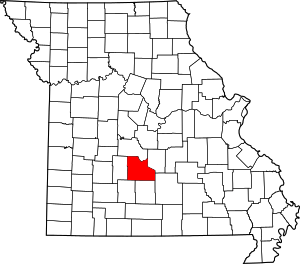 Map of Missouri highlighting Laclede County | |
| Villages | ||
| Townships |
| |
| CDP | ||
| Other unincorporated communities | ||
| Ghost towns | ||
| Footnotes | ‡This populated place also has portions in an adjacent county or counties | |
This article is issued from Wikipedia. The text is licensed under Creative Commons - Attribution - Sharealike. Additional terms may apply for the media files.