Dropla Gap
Dropla Gap (Bulgarian: седловина Дропла, ‘Sedlovina Dropla’ \ se-dlo-vi-'na dro-'pla\) is the flat, ice-covered saddle of elevation 850 m in north-central Sentinel Range in Ellsworth Mountains, Antarctica, extending 1.35 km to link Maglenik Heights to the west and Barnes Ridge to the east. It is part of the glacial divide between Young Glacier to the north and Arapya Glacier to the south.
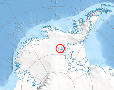
Location of Sentinel Range in Western Antarctica.
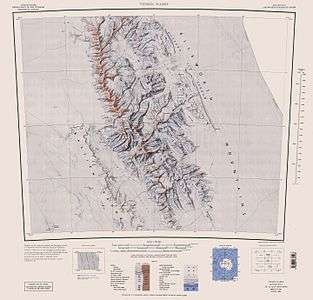
Sentinel Range map.
The gap is named after the settlements of Dropla in Northeastern and Southeastern Bulgaria.
Location
Dropla Gap is centred at 78°08′15″S 84°58′20″W. US mapping in 1961, updated in 1988.
Maps
- Vinson Massif. Scale 1:250 000 topographic map. Reston, Virginia: US Geological Survey, 1988.
- Antarctic Digital Database (ADD). Scale 1:250000 topographic map of Antarctica. Scientific Committee on Antarctic Research (SCAR). Since 1993, regularly updated.
gollark: I'm not really a not-finding-loophones-in-human-rights-act kind of person.
gollark: We need a version of that "helth" meme for international law.
gollark: Hmm, so if you don't *declare* war, you can still do biological warfare and stuff?
gollark: manifest.webmanifest
gollark: 1027EB internet.jpg
References
- Dropla Gap. SCAR Composite Antarctic Gazetteer.
- Bulgarian Antarctic Gazetteer. Antarctic Place-names Commission. (details in Bulgarian, basic data in English)
External links
- Dropla Gap. Copernix satellite image
This article includes information from the Antarctic Place-names Commission of Bulgaria which is used with permission.
| General |
| .svg.png) |
|---|---|---|
| Geographic regions | ||
| Waterways | ||
| Famous explorers | ||
This article is issued from Wikipedia. The text is licensed under Creative Commons - Attribution - Sharealike. Additional terms may apply for the media files.