Domariaganj
Domariaganj is a town and tehsil of Siddharthnagar district in eastern Uttar Pradesh. It is located on the bank of the river Rapti, 30 km south of the Nepal border.
Domariyaganj | |
|---|---|
Town | |
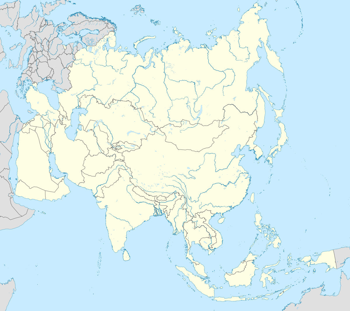
 Domariyaganj Location in Uttar Pradesh, India  Domariyaganj Domariyaganj (India)  Domariyaganj Domariyaganj (Asia) | |
| Coordinates: 27.22°N 82.67°E | |
| Country | |
| State | Uttar Pradesh |
| District | Siddharthnagar district |
| Government | |
| • Nagar Panchayat Chairman | Zafar Ahmad |
| Area | |
| • Total | 5 km2 (2 sq mi) |
| Elevation | 88 m (289 ft) |
| Population (2011) | |
| • Total | 30,698 |
| • Density | 6,100/km2 (16,000/sq mi) |
| Language | |
| • Official | Hindi[1] |
| • Additional official | Urdu[1] |
| Time zone | UTC+5:30 (IST) |
| Vehicle registration | UP-55 |
| Website | sidharthnagar |
Geography
Domariaganj is located at 27.22°N 82.67°E.[2] It has an average elevation of 88 m (289 ft).
Administration
Domariaganj Lok Sabha constituency is one of the 80 Lok Sabha (parliamentary) constituencies in Uttar Pradesh.[3]
gollark: I used my 1337 hacker abilities to obtain the picture.
gollark: <@304000458144481280> https://cdn.discordapp.com/avatars/356107472269869058/57cb7ab2255a1df53380b14f37e909e0.png
gollark: Why did they make that so easy to click?!
gollark: Did I accidentally send you an invite? Oops.
gollark: ^
See also
- Domariaganj (Lok Sabha constituency)
- Hallaur
- Wasa Dargah
References
- "52nd REPORT OF THE COMMISSIONER FOR LINGUISTIC MINORITIES IN INDIA" (PDF). nclm.nic.in. Ministry of Minority Affairs. Archived from the original (PDF) on 25 May 2017. Retrieved 8 June 2019.
- Falling Rain Genomics, Inc - Domariaganj
- "Domariyaganj Lok Sabha Election Results 2019: Domariyaganj Election Result 2019 | Domariyaganj Winning MP & Party | Domariyaganj Lok Sabha Seat". www.business-standard.com. Retrieved 3 September 2019.
External links
This article is issued from Wikipedia. The text is licensed under Creative Commons - Attribution - Sharealike. Additional terms may apply for the media files.