Dolná Streda
Dolná Streda (Hungarian: Alsószerdahely) is a village and municipality in the Galanta District of the Trnava Region of western Slovakia.
Dolná Streda | |
|---|---|
Municipality | |
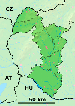 Dolná Streda Location of Dolná Streda in the Trnava Region  Dolná Streda Dolná Streda (Slovakia) | |
| Coordinates: 48°16′11″N 17°45′15″E | |
| Country | Slovakia |
| Region | Trnava |
| District | Galanta |
| First mentioned | 1283 |
| Area | |
| • Total | 13.47 km2 (5.20 sq mi) |
| Elevation | 125 m (410 ft) |
| Population (2009) | |
| • Total | 1,410 |
| • Density | 100/km2 (270/sq mi) |
| Time zone | UTC+1 (CET) |
| • Summer (DST) | UTC+2 (CEST) |
| Car plate | GA |
| Website | www.dolnastreda.sk |
History
In historical records the village was first mentioned in 1283.
Geography
The municipality lies at an elevation of 125 metres and covers an area of 13.47 km2 (5 sq mi). It has a population of about 1410 people.
Genealogical resources
The records for genealogical research are available at the state archive "Statny Archiv in Bratislava, Slovakia"
- Roman Catholic church records (births/marriages/deaths): 1717-1895 (parish A)
gollark: I have Arch on a USB stick in case I need to install it on things in a hurry somehow.
gollark: That would be mean so they can't.
gollark: I worry that one day someone will become annoyed by incdec and assemble a vast botnet of compromised IoT devices to send increment and decrement commands unreasonably fast and saturate my internet connection.
gollark: I suppose it'd work for a bit.
gollark: Most people are on dynamic IPs.
External links
- Official page
- https://web.archive.org/web/20080111223415/http://www.statistics.sk/mosmis/eng/run.html
- Surnames of living people in Dolna Streda
This article is issued from Wikipedia. The text is licensed under Creative Commons - Attribution - Sharealike. Additional terms may apply for the media files.