Šalgočka
Šalgočka (Hungarian: Salgócska) is a village and municipality in Galanta District of the Trnava Region of south-west Slovakia.
Šalgočka | |
|---|---|
Municipality | |
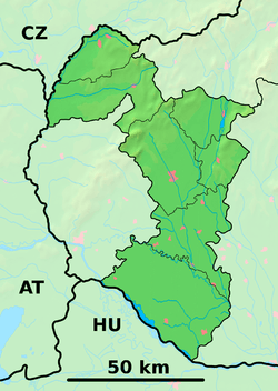 Šalgočka Location of Šalgočka in the Trnava Region  Šalgočka Šalgočka (Slovakia) | |
| Coordinates: 48°20′N 17°49′E | |
| Country | Slovakia |
| Region | Trnava |
| District | Galanta |
| First mentioned | 1248 |
| Area | |
| • Total | 4.747 km2 (1.833 sq mi) |
| Elevation | 150 m (490 ft) |
| Population | |
| • Total | 444 |
| • Density | 94/km2 (240/sq mi) |
| Time zone | UTC+1 (CET) |
| • Summer (DST) | UTC+2 (CEST) |
| Postal code | 925 54 (pošta Zemianske Sady) |
| Area code(s) | 421-31 |
| Car plate | GA |
| Website | www.salgocka.sk |
History
In historical records the village was first mentioned in 1248.
Geography
The municipality lies at an elevation of 150 metres and covers an area of 4.747 km². It has a population of about 444 people.
gollark: > the senators can reject you if they think you wouldn’t be good as an officer so it’s not as much a waste as a supreme character referenceIt's arbitrary and probably discriminating against people.
gollark: It's the one below canada.
gollark: USA, evidently
gollark: Unless it's just some thing where they filter out people who don't care very much by forcing excess time wasting.
gollark: It seems like a waste of time for everyone involved.
External links
This article is issued from Wikipedia. The text is licensed under Creative Commons - Attribution - Sharealike. Additional terms may apply for the media files.