Depauw, Indiana
Depauw is an unincorporated community in Blue River Township, Harrison County, Indiana.
Depauw, Indiana | |
|---|---|
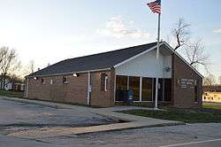
 Post office | |
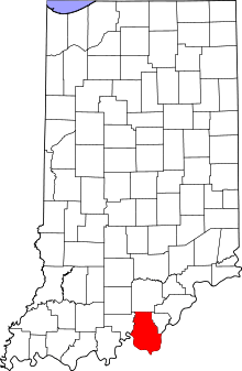
 Harrison County's location in Indiana | |
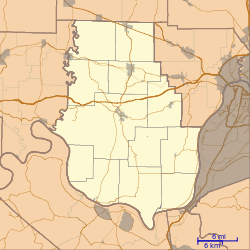
 Depauw Depauw's location in Harrison County | |
| Coordinates: 38°20′10″N 86°13′03″W | |
| Country | United States |
| State | Indiana |
| County | Harrison |
| Township | Blue River |
| Elevation | 644.40 ft (196.41 m) |
| Population | 2,500 |
| Time zone | UTC-4:00 (EDT) |
| ZIP code | 47115 |
| FIPS code | 18-17794[1] |
| GNIS feature ID | 433484[2] |
History
Depauw was platted in 1884.[3] According to one source, the community may be named for Washington C. DePauw.[4] On April 3, 1974, at around 2:20 pm, an F5 tornado hit Depauw, destroying houses and trees. It then passed Highway 64 and headed northeast towards Palmyra. Some time after the tornado died out, the U.S. National Guard arrived in Depauw to interrogate and help the people in the town. The tornado that went through Depauw killing 6 people.
Geography
Depauw is located at 38°20′10″N 86°13′03″W.
gollark: Is that the GPS channel?
gollark: Rednet?
gollark: How do you know their IDs though?
gollark: Ah, right.
gollark: Yes.
References
- "U.S. Census website". United States Census Bureau. Retrieved 2008-01-31.
- "Depauw, Indiana". Geographic Names Information System. United States Geological Survey. Retrieved 2009-10-10.
- Roose, William H. (1911). Indiana's Birthplace: A History of Harrison County, Indiana. Tribune Company, Printers. p. 71.
- Baker, Ronald L. (October 1995). From Needmore to Prosperity: Hoosier Place Names in Folklore and History. Indiana University Press. p. 113. ISBN 978-0-253-32866-3.
...perhaps for industrialist Washington C. DePauw ...
This article is issued from Wikipedia. The text is licensed under Creative Commons - Attribution - Sharealike. Additional terms may apply for the media files.