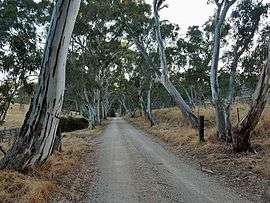
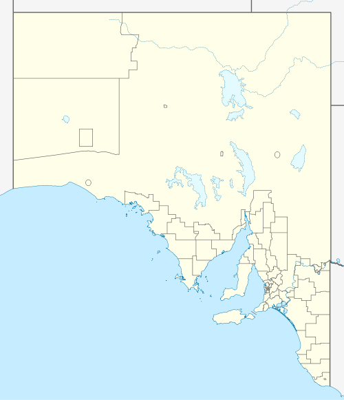
Dawesley
Dawesley is a locality in South Australia. It is in the Adelaide Hills 40 km southeast of Adelaide. It is on Dawesley Creek, a tributary of the Bremer River, and the old Princes Highway between Nairne and Kanmantoo. It is in the Hundred of Kanmantoo.[3]
| Dawesley South Australia | |||||||||||||||
|---|---|---|---|---|---|---|---|---|---|---|---|---|---|---|---|
 | |||||||||||||||
 Dawesley | |||||||||||||||
| Coordinates | 35°02′32″S 138°56′43″E[1] | ||||||||||||||
| Population | 259 (2016 census)[2] | ||||||||||||||
| Established | 1857 | ||||||||||||||
| Location | |||||||||||||||
| LGA(s) | District Council of Mount Barker | ||||||||||||||
| State electorate(s) | electoral district of Kavel | ||||||||||||||
| Federal Division(s) | Division of Mayo | ||||||||||||||
| |||||||||||||||
The 2016 Australian census which was conducted in August 2016 reports that Dawesley had 259 people living within its boundaries.[2]
History
The town was laid out by William Bower Dawes and sold at the District Hotel, Nairne, on 4 May 1857.[4] Mount Beevor station, once held by T. Hope Murray, is nearby.[5]
gollark: ?catfact
gollark: Except the dictator(s).
gollark: I find it hard to assume that any government actually has a coherent plan in mind, but somehow it seems to me unlikely that this sort of system of "let's monitor everything everyone says and does and have no transparency about it" is actually for anyone else's good.
gollark: i.e. "put security holes in your products but they're not actually allowed to be 'systemic weaknesses' and also you're not allowed to tell anyone".
gollark: No, they passed that stupid "Assistance and Access" law.
References
- "Search results for 'Dawesley, LOCB' with the following datasets selected - 'Suburbs and localities', 'Counties', 'Government Towns', 'Hundreds', 'Local Government Areas', 'SA Government Regions' and 'Gazetteer'". Location SA Map Viewer. South Australian Government. Retrieved 27 September 2019.
- Australian Bureau of Statistics (27 June 2017). "Dawesley (State Suburb)". 2016 Census QuickStats.

- South Australian Names
- Manning, Geoffrey. "Dawesley" (PDF). Manning Index of South Australian History - Place Names. Retrieved 6 November 2017 – via State Library of South Australia.
- "Family Notices". The Advertiser. Adelaide. 2 May 1903. p. 6. Retrieved 15 November 2014 – via National Library of Australia.
This article is issued from Wikipedia. The text is licensed under Creative Commons - Attribution - Sharealike. Additional terms may apply for the media files.