Dampier Strait (Indonesia)
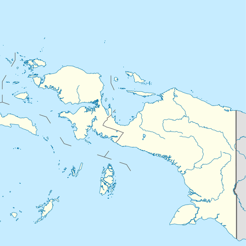
Dampier Strait (sometimes also known as Augusta's Strait) in Indonesian province of West Papua is a strait that separates the Raja Ampat islands of Waigeo and Batanta. It is named after British navigator William Dampier.[1]
| Dampier Strait | |
|---|---|
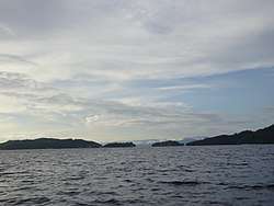
 View of Dampier strait at 20 mi from Sorong. | |
 Dampier Strait | |
| Coordinates | 00°40′S 130°40′E |
| Type | strait |
| Native name | Indonesian: Selat Dampier |
| Basin countries | Indonesia |
| References | Selat Dampier: Indonesia National Geospatial-Intelligence Agency, Bethesda, MD, USA |
Geography
The Dampier Strait passes through the Indonesian archipelago of Raja Ampat ( West Papua province). Between the islands Batanta and Gam are several islands. The largest of these is the narrow island of Mansuar. At its eastern tip are the islands of Kri and Koh. Island Arborek lies northwest. South of Mansuar are the Augusta Island, the Duiven Island, Djerief and the Mainsfield Islands. At the western end of the strait are the Woodford Reefs and the Fam Islands. Other small islands are located near the coast of the main islands.
References
- James Horsburgh Memoirs: comprising the navigation to and from China, by the China Sea, and through the various straits and channels in the Indian archipelago; also, the navigation of Bombay harbor. Volume 1 London: Printed for the author by C. Mercier and Co., 1805.