Chopo Volcano
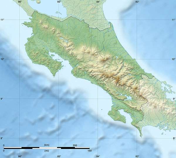
Chopo Volcano, today a quarry, was an inactive volcano, also known as either Anunciación, Coronación, Asunción mountain. Located in Cañas canton of Guanacaste, 6 km north from the Cañas city.[1][2]
| Chopo Volcano | |
|---|---|
 Chopo Volcano Costa Rica | |
| Highest point | |
| Elevation | 402 metres (1,319 ft) |
| Listing | List of volcanoes in Costa Rica |
| Coordinates | 10°28′14″N 85°03′51″W |
| Geology | |
| Mountain type | Volcano |
| Last eruption | Unknown |
Toponymy
The name is due to the nickname of the previous owner of the land where the volcano is located.[1]
Physical aspects
The area is of around 1 km2 and the cone was made of pyroclastic lava flows, its rocks are basaltic olivines.
Social and economic activity
Today the volcano is a quarry for road raw material. Cattle farming is practiced in the surrounding areas.[1]
gollark: I'm actually alternating between several.
gollark: You wouldn't know it.
gollark: Also calls would need some kind of primitive garbage collection.
gollark: That would make dialing fiddly, although I guess it could just make new calls unless you explicitly use an existing one.
gollark: Anyway, so, I would have to make the dialing interface more complicated to support multiple options along the lines of "connect to existing call(s) in channel", "create new call", that sort of thing.
See also
References
- Alvarado Induni, Guillermo. Los volcanes de Costa Rica. Editorial de la Universidad Estatal a Distancia. pp. 98–100. ISBN 978-9968-316-79-8.
- Bergoeing, Jean Pierre (2006-01-01). "El cuaternario en Costa Rica. Proposición cronológica". Reflexiones (in Spanish). 85 (1): 13. ISSN 1021-1209.
| Guatemala |  | |
|---|---|---|
| El Salvador | ||
| Nicaragua | ||
| Costa Rica |
| |
| Panama |
| |
Note: volcanoes are ordered from north-west to south-east. | ||
This article is issued from Wikipedia. The text is licensed under Creative Commons - Attribution - Sharealike. Additional terms may apply for the media files.