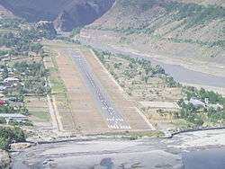
Chitral Airport
Chitral Airport (IATA: CJL, ICAO: OPCH) is a small domestic airport situated 2 NM (3.7 km) north of the city centre of Chitral,[2] in the Khyber-Pakhtunkhwa province of Pakistan.
Chitral Airport چترال ہوائی اڈا | |||||||||||
|---|---|---|---|---|---|---|---|---|---|---|---|
 | |||||||||||
| Summary | |||||||||||
| Operator | Pakistan Civil Aviation Authority | ||||||||||
| Serves | Chitral, Khyber-Pakhtunkhwa | ||||||||||
| Elevation AMSL | 1,500 m / 4,921 ft | ||||||||||
| Coordinates | 35°52′54″N 071°47′53″E | ||||||||||
| Map | |||||||||||
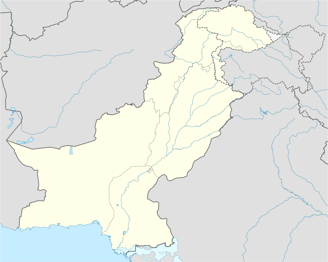 CJL Location of the airport in Pakistan | |||||||||||
| Runways | |||||||||||
| |||||||||||
| Statistics (2017-18[1]) | |||||||||||
| |||||||||||
Airlines and destinations
| Airlines | Destinations |
|---|---|
| Pakistan International Airlines | Islamabad, Peshawar |
gollark: I see.
gollark: Or to have to switch over suddenly if I wanted to have an application and not a document.
gollark: It would be annoying to have separate servers and configuration and such.
gollark: There being different protocols for them.
gollark: This is part of why osmarks.net isn't served on Gemini. Although not a big part.
See also
- List of airports in Pakistan
- Airlines of Pakistan
- Transport in Pakistan
- Pakistan Civil Aviation Authority
References
- http://www.caapakistan.com.pk/AT/AT-EO-Stats.aspx
- AIP Pakistan: OPCH – Chitral Archived 2007-10-19 at the Wayback Machine
- Airport information for OPCH at World Aero Data. Data current as of October 2006.Source: DAFIF.
- Airport information for CJL at Great Circle Mapper. Source: DAFIF (effective October 2006).
This article is issued from Wikipedia. The text is licensed under Creative Commons - Attribution - Sharealike. Additional terms may apply for the media files.