Chikoy National Park
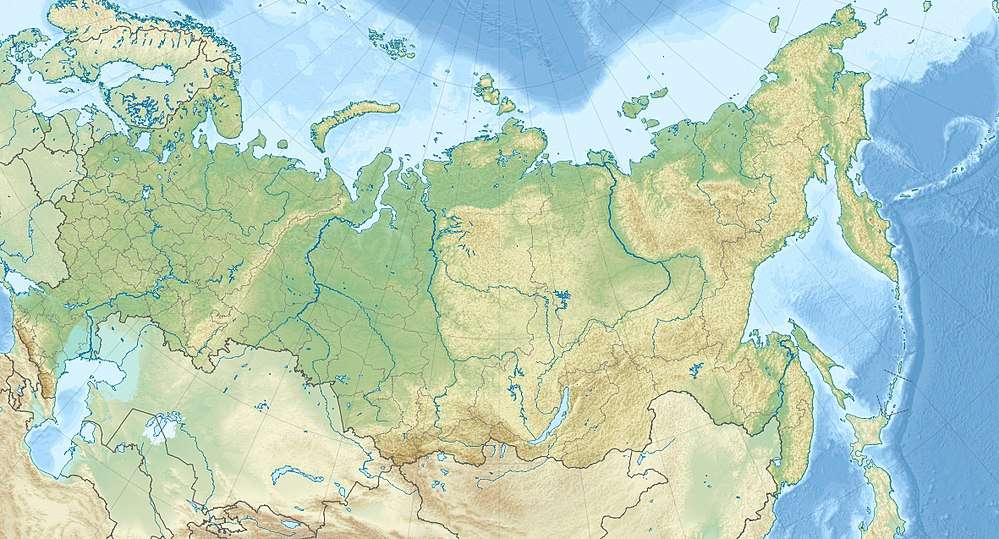
Chikoy National Park (Russian: Чикой, национальный парк) was officially created in 2014, on the mountain-steppe border region of south-central Siberia and Mongolia. It is in the Krasnochikoysky District of the Zabaykalsky ("Trans-Baikal") administrative region of Russia. This places the park about 250 miles southeast of Lake Baikal, on the edge of the Lake Baikal ecoregion. The stated purpose for creating the park is the "preservation of unique natural complexes in the upper reaches of the river Chikoy".[1] While tourism and sport fishing will be encouraged, hunting and roads will be prohibited.[2][3]

| Chikoy National Park | |
|---|---|
| Чикой (Russian) | |
IUCN category II (national park) | |
 Chikoy National Park | |
 Location of Park | |
| Location | Chukotka Autonomous Okrug |
| Nearest city | Anadyr |
| Coordinates | 49°46′N 110°18′E |
| Area | 666,468 hectares (1,646,878 acres; 6,665 km2; 2,573 sq mi) |
| Established | 2014 |
| Governing body | Ministry of Natural Resources and Environment (Russia) |
| Website | http://np-chikoi.ru/ |
Geography
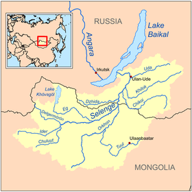
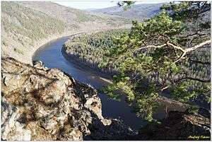
The national park is located in the Khentei-Daur Highlands, in the upper reaches of the Chikoy River of the Baikal Basin. The natural monument mountain Bystrinsky Golets, highest point of the Chikokon Range and of the highlands, is located in the park area.[4][5]
Ecoregion and climate
This is part of the Daurian forest steppe ecoregion.[6][7] The park is in the transition zone between the Siberian taiga to the north and Mongolian steppe to the south. The area is one of pine forests, mountain, steppe, and alpine meadows.[8]
The climate of Chikoy is Subarctic climate, dry winter (Köppen climate classification subarctic climate. This climate is characterized by mild summers (only 1–3 months above 10 °C (50.0 °F)) and cold winters having monthly precipitation less than one-tenth of the wettest summer month.[9][10]
See also
References
- "Chikoy National Park (in Russian)". Ministry of Natural Resources and Ecology of the Russian Federation. Retrieved December 29, 2015.
- "Chikoy Sets Protection Against Poachers". BBC. Retrieved December 29, 2015.
- "Chikoy National Park (in Russian)". Chikoy National Park. Retrieved September 26, 2019.
- Khentey, Small Encyclopedia of Transbaikalia
- Быстринский Голец, Small Encyclopedia of Transbaikalia
- "Daurian Forest Steppe Ecoregion". World Wildlife Fund.
- "Daurian Forest Steppe Ecoregion". Encyclopedia of the Earth. Retrieved December 29, 2015.
- "Map of Ecoregions 2017". Resolve, using WWF data. Retrieved September 14, 2019.
- Kottek, M., J. Grieser, C. Beck, B. Rudolf, and F. Rubel, 2006. "World Map of Koppen-Geiger Climate Classification Updated" (PDF). Gebrüder Borntraeger 2006. Retrieved September 14, 2019.CS1 maint: multiple names: authors list (link)
- "Dataset - Koppen climate classifications". World Bank. Retrieved September 14, 2019.
External links
| Wikimedia Commons has media related to Chikoy. |