Cherial, Warangal district
Cherial is a village panchayat mandal in Warangal district in the state of Telangana in India.[1]
Cherial | |
|---|---|
village | |
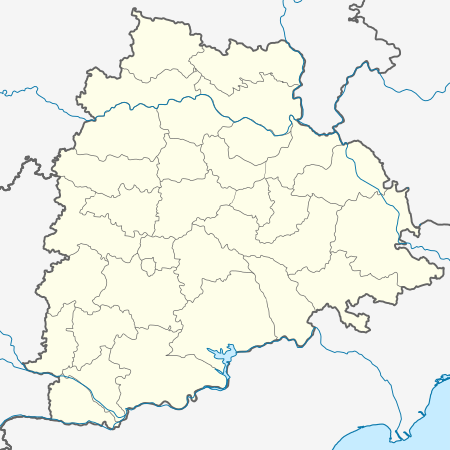 Cherial Location in Telangana, India  Cherial Cherial (India) | |
| Coordinates: 17.920253°N 79.00285°E | |
| Country | |
| State | Telangana |
| District | Warangal |
| Talukas | Cherial (Warangal) |
| Population (2001) | |
| • Total | 17,281 |
| Languages | |
| • Official | Telugu |
| Time zone | UTC+5:30 (IST) |
| PIN | 506223 |
| Telephone code | 91 08710 |
| Vehicle registration | TS 03 |
| Website | telangana |
Geography
Approximate co-ordinates: 17° 55' 12.91", 78° 58' 23.58"
List of gram panchayats in Cherial mandal:
1.[CHERIAL]
2.Aknoor
3.AINAPOR
4.Chityal
5.Chunchankota
6.Danampalle
7.Dommata
8. Gouraipalle
9. Guravannapet
10.Kadavergu
11.Kistampet
12.Komuravelle
13.Marrimusthiayala
14.Musthiyala
15.Nagapuri
16.Pedarajupet
17.Posanpalle
18.Rampoor
19.Ramsagar
20.Tadoor
21.Tapaspalle
22.Vechareni
23. Gurjakunta
gollark: What? No, we optimize to arbitrary depth in all parallel universes and timelines simultaneously.
gollark: Anyway, if you still use embodied employees, that might explain why UCorp™ is so behind.
gollark: The measures are of course autooptimized too.
gollark: Our cluster management systems just automatically select for productivity.
gollark: See, wage growth cost us capital which could otherwise be fed to our capital generators, so we just use orbital mind control laser backscatter to nondestructively extract neural patterns from arbitrary people, then execute them in parallel at a few thousand times real time speed on our computing clusters.
This article is issued from Wikipedia. The text is licensed under Creative Commons - Attribution - Sharealike. Additional terms may apply for the media files.