Cheapside, Berkshire
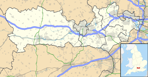
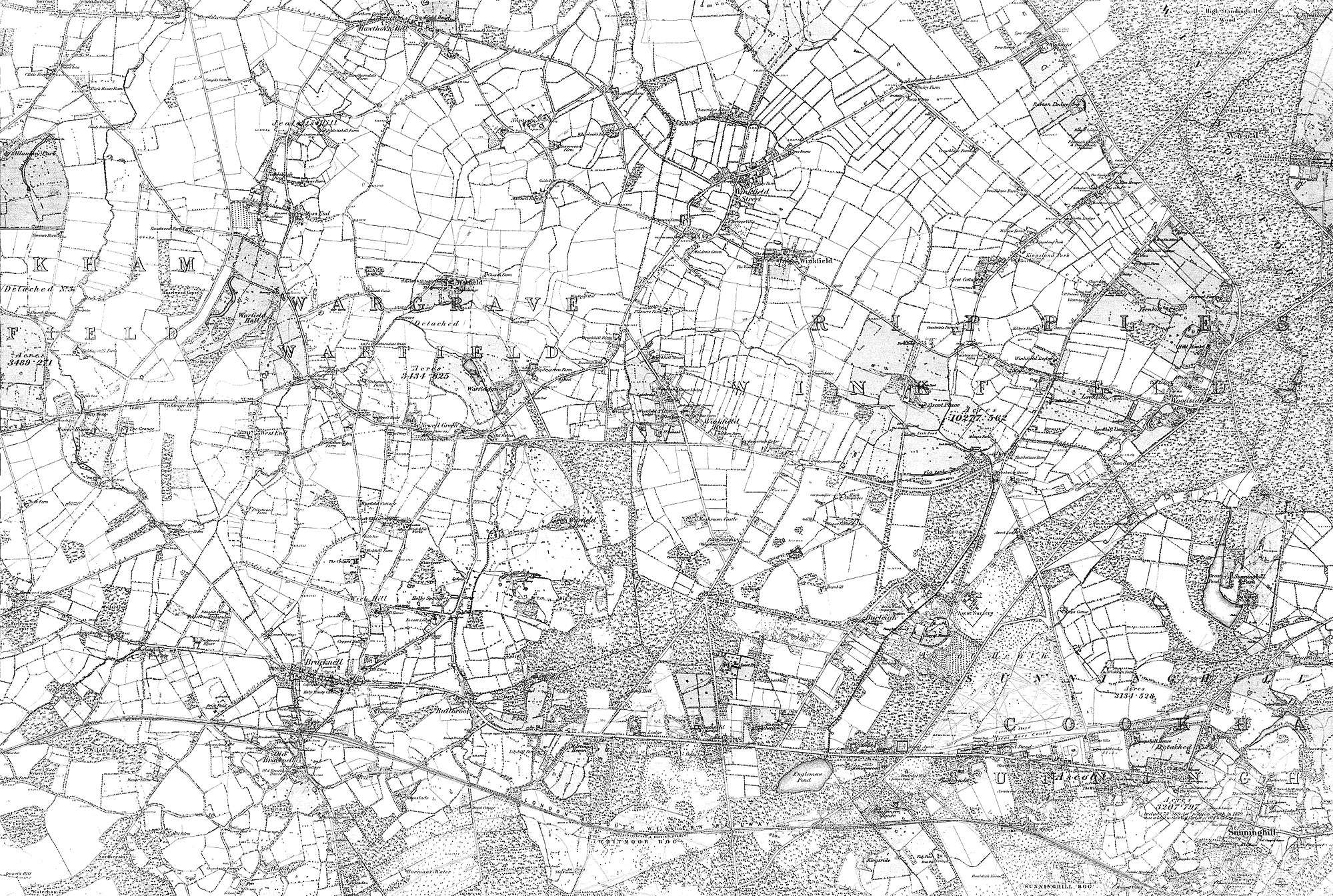
Cheapside is describes a close triangle of roads in the civil parish of Sunninghill and Ascot and ecclesiastical parish of Sunninghill in the Royal Borough of Windsor and Maidenhead in Berkshire, England which includes a school and had a Methodist chapel.[1][2] It is a cluster of houses, bungalows and cottages with small gardens for the county which contrasts with large houses with large gardens and small farms covering most of the rest of Sunninghill. With no formal definition, it is marked on maps as the area north and east of or including Silwood Park and south of Sunninghill Park; Harewood Lodge followed by Titness House to its immediate east are of similar 18th century construction and have sometimes been recorded as in the Cheapside locality.
Geography
The bulk of this neighbourhood of Sunninghill has less sandy soil thus a tradition of mixed farming supporting its market hence its name, (the Anglo-Saxon word for a market is a "cheap" as in Cheapside, London); alternatively it may have been an area set aside by the Royal landowners as labourers' cottages and considered therefore the "cheap side". It is throughout at lower altitude (elevation) than the mainly 18th century built-up village south of the church forming the heart of Sunninghill. In the south-east it has the west shore of Virginia Water Lake. Cheapside is centred 1.5 miles (2.4 km) east of the centre of Ascot, one of Europe's main venues in horse racing. East is the southern part of Windsor Great Park which has denser pockets of tall trees; Sunninghill has remains of its forest throughout — Sunninghill Park was part of Windsor Forest until King Charles I sold it to the Thomas Carey (English politician) in 1630.[3] The park to the east is used by the Royal Family peripheral members of whom have had homes in Sunninghill and at Bagshot Park to the south. The area is dotted with artificial feeder ponds or lakes to the Bourne which rises at multiple sources in the area.
Amenities
- Primary school
The main public amenity is Cheapside (C of E) Primary School, since the mid-20th century, a large building on a 2-acre site, having been directly south historically.
- Public house
The Thatched Tavern pub dates to at least the late 17th century and is listed in the initial category for heritage.[4] It advertises as a "beautiful 400 year old beamed tavern, with its cosy bar and glowing fires serves traditional heart warming bar food such as; homemade Beef Stew & Dumplings; Sausages & Mash and Steak & Kidney Pudding. Good 'old fashioned' indulgence is the order of the day"[5]
- Church in Sunninghill
The area has for more than eight centuries been a neighbourhood in the north of the Anglican parish of Sunninghill. Its church replaced a forerunner on the site (about half a mile south of Cheapside) built in about 1120 and may have had earlier predecessors.[3][6] The south of the once more extensive parish of Sunninghill was the main contributor to more populous Sunningdale.
- Sunninghill Park
Notable people
In the mansions next to Cheapside:
| Person | Home | decade when last resident |
|---|---|---|
| Luke White, 2nd Baron Annaly, politician and army officer[7] | Titness Park | 1850s |
| William Hurt, Actor | unknown | 1990s (intermittently) |
| Prince Andrew, Duke of York | Sunninghill Park | 2000s |
References
- Ordnance Survey: Landranger map sheet 175 Reading & Windsor (Henley-on-Thames & Bracknell) (Map). Ordnance Survey. 2012. ISBN 9780319232149.
- "Ordnance Survey: 1:50,000 Scale Gazetteer" (csv (download)). www.ordnancesurvey.co.uk. Ordnance Survey. 1 January 2016. Retrieved 18 February 2016.
- http://www.berkshirehistory.com/villages/sunninghill.html
- Historic England. "Details from listed building database (1119825)". National Heritage List for England.
- http://www.thethatchedtavern.co.uk/
- http://www.achurchnearyou.com/church/6017/
- Kidd, Charles, Williamson, David (editors). Debrett's Peerage and Baronetage (1990 edition). New York: St Martin's Press, 1990.
External links
![]()

