Chapel Flat, Victoria
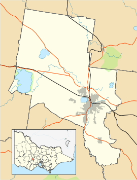
Chapel Flat is a locality on the Eastern rural fringe of the City of Ballarat municipality in Victoria, Australia. At the 2016 census, Chapel Flat had no residents.[1] The locality is almost entirely forested, containing the Creswick Plantation and part of the Creswick State Forest.
| Chapel Flat Ballarat, Victoria | |||||||||||||||
|---|---|---|---|---|---|---|---|---|---|---|---|---|---|---|---|
 Chapel Flat | |||||||||||||||
| Coordinates | 37.4780°S 143.8946°E | ||||||||||||||
| Population | 0 (2016 census)[1] | ||||||||||||||
| Postcode(s) | 3352 | ||||||||||||||
| LGA(s) | City of Ballarat | ||||||||||||||
| State electorate(s) | Buninyong | ||||||||||||||
| Federal Division(s) | Ballarat | ||||||||||||||
| |||||||||||||||
References
- Australian Bureau of Statistics (27 June 2017). "Chapel Flat (State Suburb)". 2016 Census QuickStats. Retrieved 12 November 2018.

This article is issued from Wikipedia. The text is licensed under Creative Commons - Attribution - Sharealike. Additional terms may apply for the media files.