Centre-Sud
The Centre-Sud neighbourhood is located at the easternmost edge of the Ville-Marie borough of the city of Montreal, Quebec, Canada. The neighbourhood is bordered by the Saint Lawrence River to the south, Saint Hubert Street to the west, the Canadian Pacific rail line to the east and Sherbrooke Street to the north. The Plateau is located to the north, and Mercier-Hochelaga-Maisonneuve is located to the east.
Centre-Sud | |
|---|---|
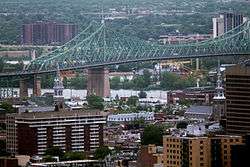
 The Centre-Sud neighbourhood around the Jacques Cartier Bridge | |
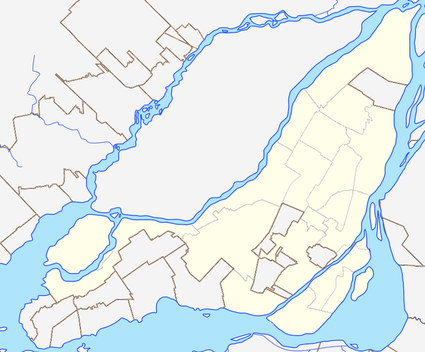
 Centre-Sud Location of Centre-Sud in Montreal | |
| Coordinates: 45.523565°N 73.55187°W | |
| Country | Canada |
| Province | Quebec |
| City | Montreal |
| Borough | Ville-Marie |
| Population | |
| • Total | 26,861[1] |
The Centre-Sud is home to Montreal's Gay Village and to the Sainte-Marie neighbourhood.
Other features include the Molson Brewery, Radio Canada tower and the charitable organization Dans la Rue, founded by Emmett Johns.
During the Quebec Biker War, the Rock Machine had their bunker in the Centre-Sud.[2]
Popular Culture
The neighbourhood is the subject of Richard Beaulieu’s Chroniques du Centre-Sud, a 2014 comic portraying the neighbourhood in the 1990s.[3]
Transportation
The neighbourhood is accessible by the following Montreal Metro stations, Frontenac, Papineau, Beaudry and Berri-UQAM (partially).
Its two main arteries from east to west are Saint Catherine Street and Ontario Street.
References
- http://ville.montreal.qc.ca/pls/portal/docs/PAGE/MTL_STATS_FR/MEDIA/DOCUMENTS/53_SAINTE-MARIE_V2.PDF <
- >https://www.tvanouvelles.ca/2001/10/18/lancien-bunker-des-rock-machine-nest-plus-quun-amas-de-debris
- >http://www.renaud-bray.com/Livres_Produit.aspx?id=1488314&def=Chroniques+du+Centre-Sud%2CSUICIDE%2C+RICHARD%2C9782924049143<