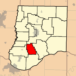
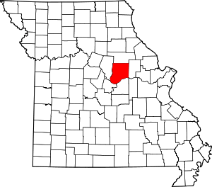
Caldwell Township, Callaway County, Missouri
Caldwell Township is one of eighteen townships in Callaway County, Missouri, USA. As of the 2010 census, its population was 438.[3]
Caldwell Township | |
|---|---|
 | |
| Coordinates: 38°43′10″N 092°00′15″W | |
| Country | United States |
| State | Missouri |
| County | Callaway |
| Area | |
| • Total | 23.38 sq mi (60.56 km2) |
| • Land | 23.34 sq mi (60.44 km2) |
| • Water | 0.05 sq mi (0.12 km2) 0.2% |
| Elevation | 778 ft (237 m) |
| Population (2010) | |
| • Total | 438 |
| • Density | 19/sq mi (7.2/km2) |
| FIPS code | 29-10414[2] |
| GNIS feature ID | 0766372 |
History
Caldwell Township was established on June 5, 1883, created from former portions of current adjacent townships (as of 2018), and named in honor of a local family.[4] The township's boundaries changed between 1883 and 1897, per descriptions of boundaries in the 1884 Missouri State Library history of Callaway County and the subsequent official map of the county published in 1897.
Geography
Caldwell Township covers an area of 23.38 square miles (60.6 km2) and while containing no incorporated settlements, it has included the unincorporated community of "Dixie". It contains seven cemeteries: Bush, Caldwell, Cave, Foster, James, Knight and Mount Tabor; as well as the streams of Caldwell Branch, Prairie Fork and Prime Creek.
References
- "US Board on Geographic Names". United States Geological Survey. 2007-10-25. Retrieved 2008-01-31.
- "U.S. Census website". United States Census Bureau. Retrieved 2008-01-31.
- "Race, Hispanic or Latino, Age, and Housing Occupancy: 2010 Census Redistricting Data (Public Law 94-171) Summary File (QT-PL), Caldwell township, Callaway County, Missouri". United States Census Bureau. Retrieved October 31, 2011.
- "Callaway County Place Names, 1928–1945 (archived)". The State Historical Society of Missouri. Archived from the original on 24 June 2016. Retrieved 7 September 2016.CS1 maint: BOT: original-url status unknown (link)
