Caldecott, Rutland
Caldecott is a village in the county of Rutland in the East Midlands of England. The civil parish population was 256 at the 2001 census increasing to 269 at the 2011 census.[3] It is located about four miles (6.4 km) south of Uppingham and about 4 miles north of Corby in Northamptonshire. The A6003 runs through the village; traffic flow on the bridge over the River Welland is controlled by traffic lights.
| Caldecott | |
|---|---|
 Across the village green | |
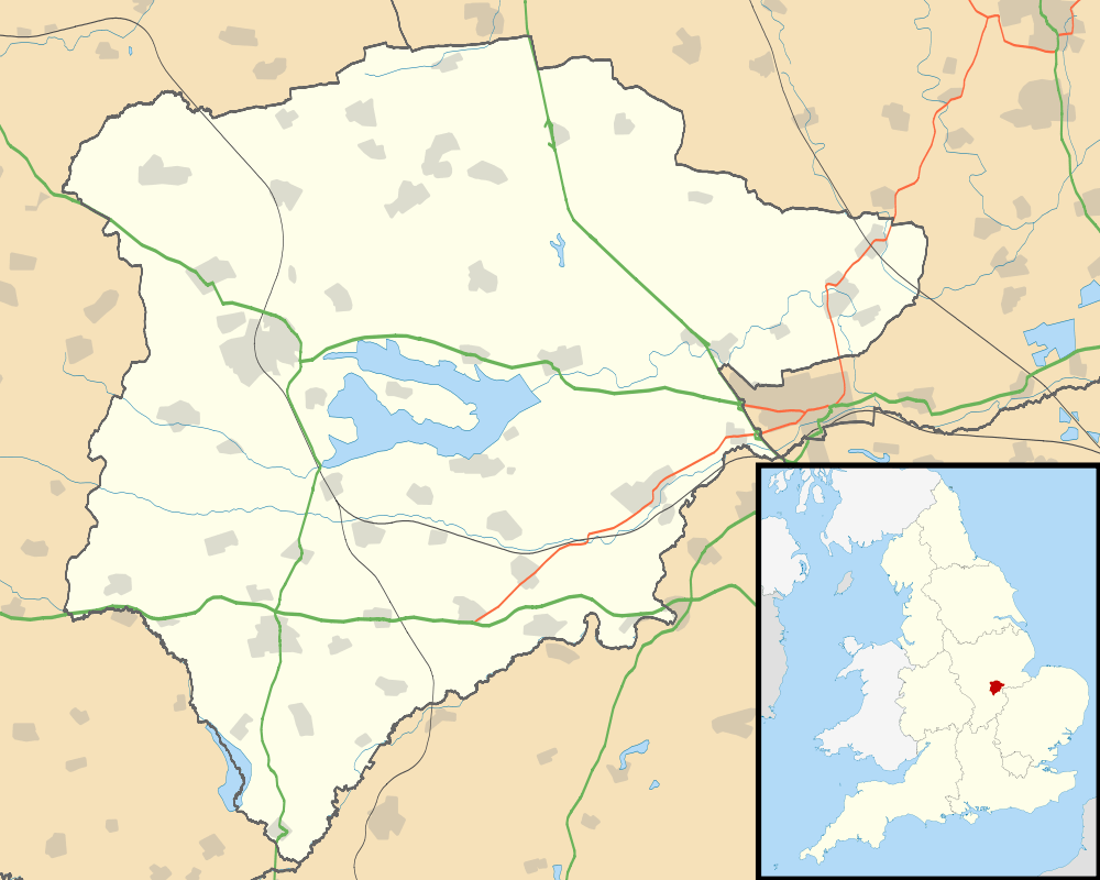 Caldecott Location within Rutland | |
| Area | 1.82 sq mi (4.7 km2) [1] |
| Population | 256 (2001 Census)[2] |
| • Density | 140/sq mi (54/km2) |
| OS grid reference | SP868937 |
| • London | 76 miles (122 km) SSE |
| Unitary authority | |
| Ceremonial county | |
| Region | |
| Country | England |
| Sovereign state | United Kingdom |
| Post town | MARKET HARBOROUGH |
| Postcode district | LE16 |
| Dialling code | 01536 |
| Police | Leicestershire |
| Fire | Leicestershire |
| Ambulance | East Midlands |
| UK Parliament | |
Caldecott is the most southerly village in Rutland.
There is one public house - The Plough Inn - by The Green on Main Street, and an Italian restaurant - Castle Italia - on the A6003 Rockingham Road to the south of the village.
There was once a railway station on the southern edge of the village. It was named after the neighbouring village of Rockingham, which was considered to be of more importance at the time. The railway station closed in 1966.
References
- "A vision of Britain through time". University of Portsmouth. Retrieved 4 February 2009.
- "Rutland Civil Parish Populations" (PDF). Rutland County Council. 2001. Archived from the original (PDF) on 12 October 2007. Retrieved 4 February 2009.
- "Civil parish population 2011". Neighbourhood Statistics. Office for National Statistics. Retrieved 24 June 2016.