Brisons
The Brisons (Cornish: Enys Vordardh, meaning breaker island) is a twin-peaked islet in the Celtic Sea situated 1 mile (1.6 km) offshore from Cape Cornwall in Cornwall, United Kingdom.[1]
| The Brisons | |
|---|---|
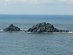 The Brisons, viewed from Cape Cornwall
 | |
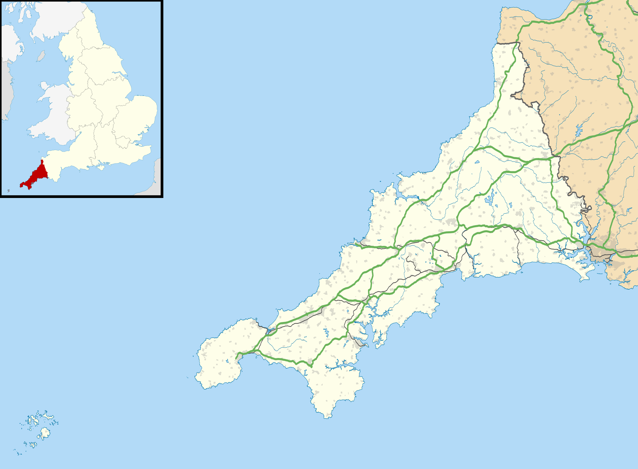 Location in Cornwall | |
| Location | Cornwall, UK |
| Coordinates | 50.12039°N 5.72229°W |
Geography
The Brisons (the name is French: brisant, 'reef, breaker') are 22 m (72 ft) and 27 m (89 ft) high and are said to resemble General Charles de Gaulle lying on his back ("General de Gaulle in his bath").[2] The rocks are connected to Gribba Point (Cornish: Pen an Gribow, meaning head of the reefs) by the Guthen Gwidden reef (Cornish: Kudhen Gwydn, meaning white hidden one). The gap in the reef is called the Adgiwar Gap (Cornish: Aja Wer, meaning green gap). In 1878, an article in the Cornishman newspaper names the reef between the ″Brissons″ and the land as Bridges, and the reef had three gaps; the nearest known as Rose-an-pons.[3]
Wildlife and ecology
In 2016 the rocks were visited by the West Cornwall Ringing Group where they heard at least two European storm petrel (Hydrobates pelagicus) calling; an indication of breeding on the only known site in Cornwall.[4] Sixty-six birds were ringed:
- European shag (Phalacrocorax aristotelis) – 42 including two adults
- razorbill (Alca torda) – 13 including seven adults
- guillemot (Uria aalge) – 11 including eight adults.
History
In 1851, the 250 ton brig New Commercial was wrecked, striking the ledge between the Great and Little Brisons. A dramatic rescue of the surviving crew was attempted, resulting in the death of all but two of the members. As a result, the National Institution for the Preservation of Life from Shipwreck (later the RNLI) established a lifeboat in Sennen Cove in 1853, where one is still based today.[5]
Recreation
During "Cape sports" an annual water sports event based on the beach at Cape Cornwall, swimming races are conducted from the Brisons back to the beach.
References
- Ordnance Survey: Landranger map sheet 203 Land's End ISBN 978-0-319-23148-7
- "What to see at Cape Cornwall". National Trust. Retrieved 14 January 2018.
- "A Contrast". The Cornishman. 8 August 1878. p. 7.
- Grantham, Mark (8 June 2016). "Breeding Stormies on the Brisons". West Cornwall Ringing Group. Retrieved 10 June 2016.
- Leach, Nicholas (2014). Sennen Cove Lifeboats: An Illustrated History. The History Press. ISBN 0750955481.
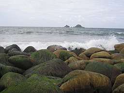
Gallery
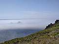 The Brisons in the mist Cornwall
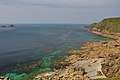 The Brisons and Cape Cornwall
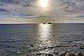 Sparkling Sun at The Brisons
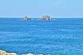 The Brisons
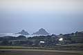 The Brisons seen from Carn Brea
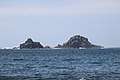 The Brisons
Cornwall Portal | |
| Unitary authorities | |
| Major settlements |
|
| Rivers | |
| Topics | |