Brampton, Derbyshire
Brampton is an area in the west of Chesterfield, Derbyshire. Originally a village separate from the town, it became absorbed into it over time due to urban sprawl. It is centred on Chatsworth Road, the main arterial road (A619) that connects the town with the Peak District and Manchester.
| Brampton | |
|---|---|
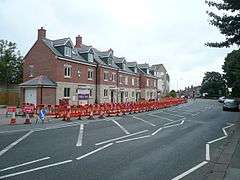
 Chatsworth Road Townhouse Development, Brampton. | |
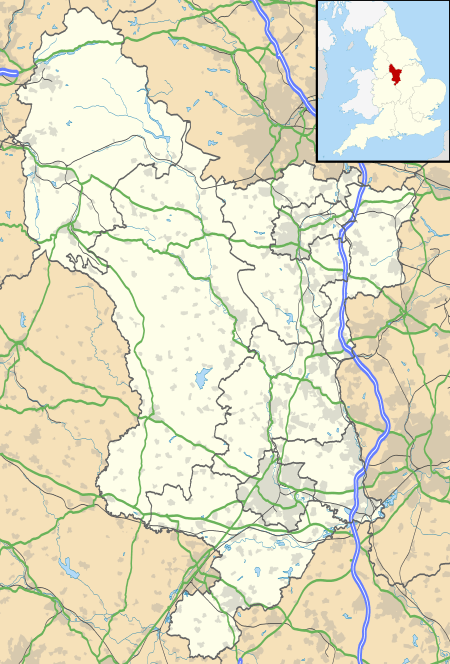
 Brampton Location within Derbyshire | |
| OS grid reference | SK359705 |
| District | |
| Shire county | |
| Region | |
| Country | England |
| Sovereign state | United Kingdom |
| Post town | CHESTERFIELD |
| Postcode district | S40 |
| Police | Derbyshire |
| Fire | Derbyshire |
| Ambulance | East Midlands |
The former village also gives its name to a civil parish, which is still outside the town.[1][2] The civil parish includes the villages of Old Brampton and Wadshelf. Cutthorpe is a small village about 4 miles (6.4 km) north-west of Chesterfield with a village school, a butcher's shop and a small post office/grocery store, three public houses and two historic halls, and forms part of the former parish of Brampton; the main road straggles through the village for three miles, reaching the Grange at its highest point, with commanding views all around.[3] The parish also includes Eastmoor, the last hamlet encountered when going west on the A619 towards Bakewell. The population of the civil parish at the 2011 Census (including Wadshelf) was 1,201.[4]
Entertainment
The Chatsworth Road area was known for the 'Brampton Mile.' This was a stretch of pubs, approximately a mile long, where a night out would include one drink in each bar. There are now fewer pubs in the area and many of the buildings have been demolished to make way for new businesses and housing development.
In recent years the area has become known for its plethora of independent shops along Chatsworth Road. A number of new retail developments, notably 131 Chatsworth Road and the Hanger, have sprung up alongside well-established, traditional family businesses. The area has been loosely compared to Ecclesall Road in Sheffield.
A festival celebrating the local community and small businesses on and around Chatsworth Road is held in October. A monthly publication, called S40 Local, seeks to promote the vibrancy of the local area and its many amenities.
The Brampton area is also served by glossy monthly publication 'Twist'.
Housing
The area boasts several housing estates, some of which date from many decades ago. However, new housing is being built all the time and this area is rapidly expanding.
Plans for regeneration of the former Walton Works site, which includes retail and housing development, is due to be considered by Chesterfield Borough Council in early 2013.
Politics
Brampton is divided into two electoral wards on Chesterfield Borough Council called Holmebrook and West.
The area comes under Hipper Division on Derbyshire County Council.
Industry
Robinson and Sons established its box manufacturing business at Wheatfield House in Brampton in the 1840s. By the 1950s the company's packaging and dressings factories covered a large area by the River Hipper in Brampton, with a workforce of thousands of employees. The Robinson Packaging headquarters is still at Field House in Brampton but most of the manufacturing has closed in Chesterfield since the 1980s.[5]
Notable people
- John Fawkes (born 1933), first-class cricketer
See also
References
- Brampton civil parish (E04002864), Geography Linked Data, Office for National Statistics. Accessed 28 March 2017
- Abstract geometry 13666-230, Ordnance Survey Linked Data, Ordnance Survey. Accessed 28 March 2017
- "Derbyshire UK: Guide to Derbyshire & the Peak District: Cutthorpe". Retrieved 2 March 2014.
- "Civil Parish population 2011". Office for National Statistics. Retrieved 21 March 2016.
- "Robinson and Sons Ltd of Chesterfield". calmview.derbyshire.gov.uk. Retrieved 3 July 2020.